Skip to Content

Planning and Data Collection

Modernize your forest inventory

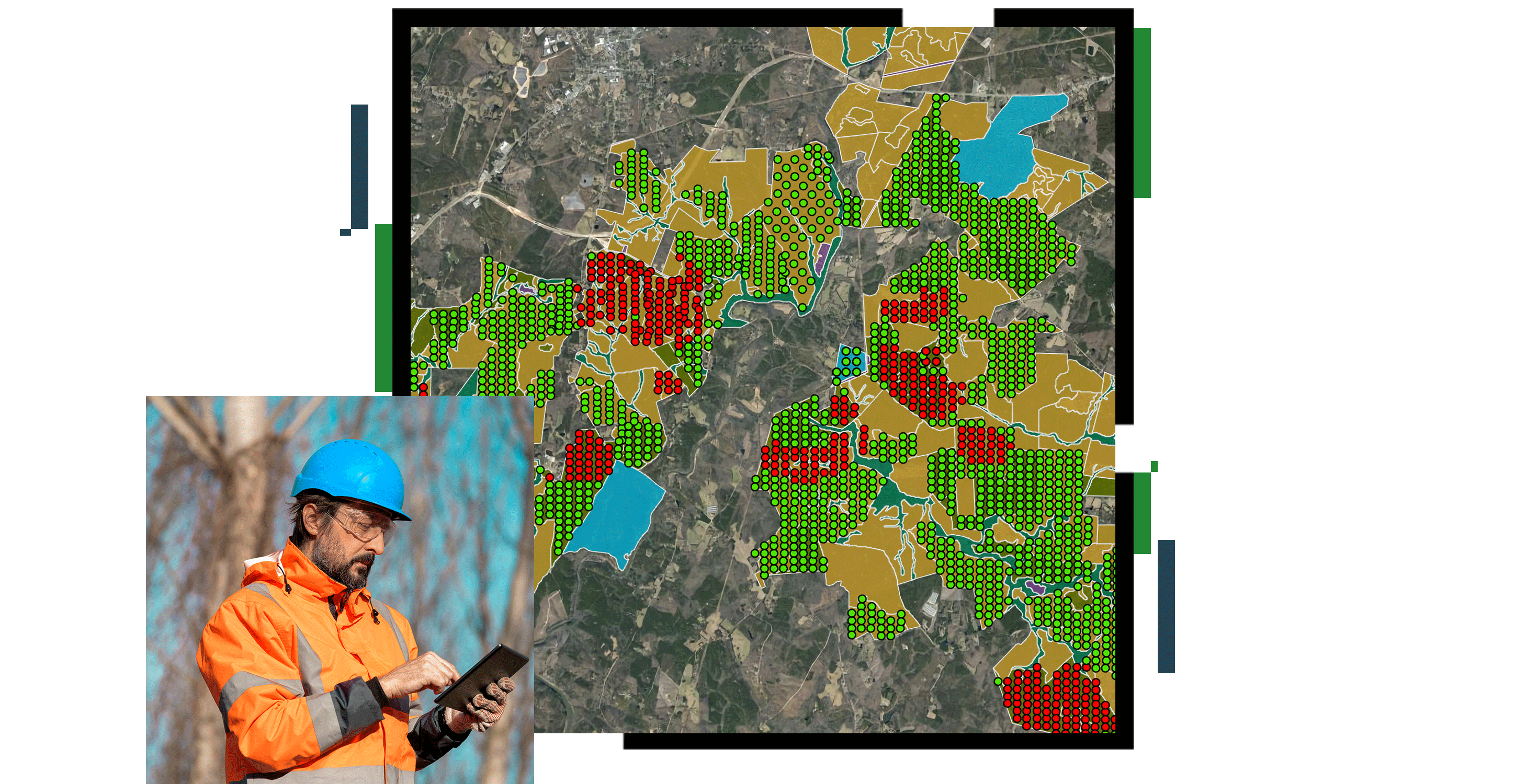
A concentration map in red and green points on a gray background, overlaid with a photo of a person in an orange utility vest and hardhat using a tablet in a forest

Increasing awareness through responsive workflows

Improve tree growth and forest health monitoring with automated data processing and analysis

Modern forestry organizations are making mobile operations and planning more efficient with GIS. Collecting field and remotely sensed data and analyzing it in near real time using performance dashboards helps leaders model complex workflows, accelerate response times, and reduce costs. Use location technology to manage your forest inventory and resources more precisely while improving quality and customer satisfaction.

Previous
Next

Gain insights through data

Data collection in the field

Use integrated field apps to collect detailed information at the source, often remotely. Enable a combination of form fills, rapid observation collection, and Internet of Things (IoT) sensor data to create a foundation of current field knowledge that improves awareness.

A photo of a casually dressed person kneeling in a forest making notes on a mobile device with a small array of equipment scattered on the ground

Data management

Integrate a wide variety of data from multiple sources that supply insight into complex workflows. Provide access, analysis, and visualization capabilities to the entire organization via web services.

A graphic of a computer monitor displaying a map dashboard with a map of a forest in green and tan, graphs, and various data points

Mapping and location enablement

Provide sophisticated mapping and location analysis capabilities to create new spatial insights, improve critical decision-making, and support long-term sustainability.

A graphic of a computer monitor displaying a map of a forest in dark green with areas segmented by yellow borders

ArcGIS BLOG

Manage forest harvest and chemical activities

Forest managers use mapping to track forest assets, environmental compliance, and associated activities to effectively manage costs and needs.

Read the blog post

Products for planning and data collection

Previous
Next

Contact sales

Connect with the Esri forestry team