Enterprise GIS in National Government
Government agencies are digitally transforming. Take a look at organizations that have successfully moved beyond technology.

Discover new insights, innovative best practices, and the latest advances in GIS technology.

February 10–11, 2026 | Washington, DC
July 11–14, 2026 | San Diego, California
July 13–17, 2026 | San Diego, California
July 14, 2026 | San Diego, California
| Date | Event | Location |
|---|---|---|
| January 12–14, 2026 | GeoBuiz Summit 2026 | Denver, CO |
| March 2–5, 2026 | OGC Member Meeting | Philadelphia, PA |
| April 27–May 1, 2026 | GeoSpaitial World Forum | RAI Congress Centre, Amsterdam |
| June 2–3, 2026 | Indo-Pacific Geointelligence | Manekshaw Centre, New Delhi |
| June 11–13, 2026 | State of the Map US | Madison, WI |
| August 28–130, 2026 | State of the Map Global | Paris, France |
| Date | Event | Location |
|---|---|---|
| February 10–11, 2026 | Esri FedGIS | Washington, DC |
| March 8–9, 2026 | Esri Partner Conference | Palm Springs, California |
| July 11–12, 2026 | Esri Safety & Security Summit | San Diego, California |
| July 13–17, 2026 | Esri User Conference | San Diego, California |
| July 14, 2026 | Defense & Intelligence Summit @ Esri UC | San Diego, California |
Enterprise GIS in National Government
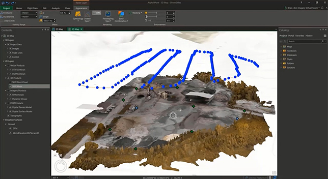
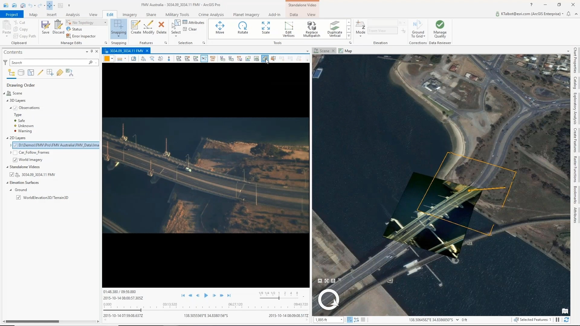
Driving Operational Knowledge Through Drones

Deliver analysis ready data
Field Operations and Data Collection
Capturing Reliable Data in the Field
Mapping and Visualization To Influence Change
Distributed Collaboration: Sharing Data
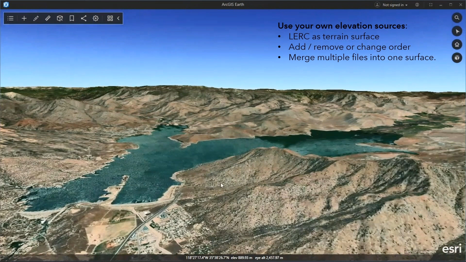
ArcGIS Earth: An Introduction
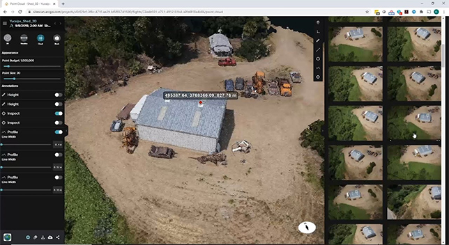
ArcGIS Photogrammetry for 3D Application
Capture and Manage Structured Observations
Modernizing GeoAI and ArcGIS
Data Visualization to Perform Analysis in ArcGIS
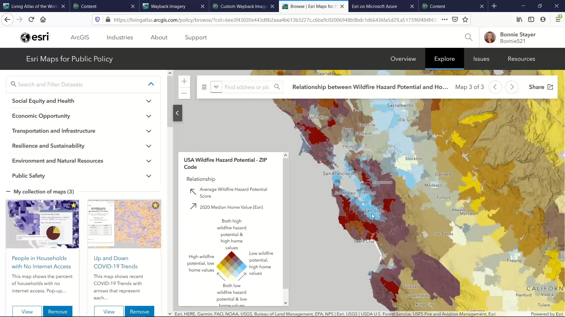
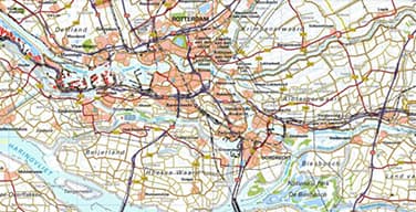
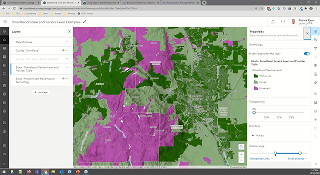
Exploring Ready to Use Content in the Living Atlas
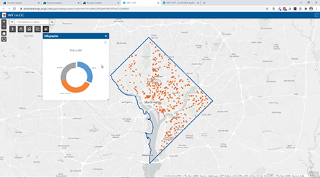
An Introduction to Infographics in ArcGIS

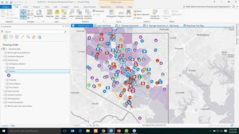
Strengthen Facility Management Operations
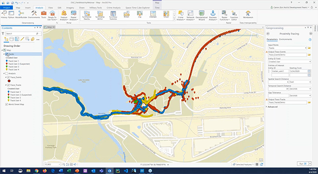
Real-time through Location Intelligence
Spatial Analysis and Data Science
Configuring Real-Time Big Data Workflows
Transforming Analyst Workflows
Introducing ArcGIS Velocity Webinar
Streamlined Workflows with ArcGIS Field Maps
Force Protection with ArcGIS Mission
Engage and Collaborate with ArcGIS
PaaS Maps and Location Services to Your Apps
Discovering Value in a Digital Twin

Predictive modeling through spatial analysis
Harnessing Remote Sensing Innovations
Join your peers at the premier geospatial professional development event for government.
Esri’s smart community information system establishes four technology tenets governments need to support smart communities.
This Esri program provides GIS software, technical support, services, and data during your community’s time of need.
Customized purchase options for members of the federal government.