GIS-Driven Reclamation for Mine Closure
Webinar
Discover how nature-based solutions are transforming the reclamation and closure processes in mining.

Discover new insights, innovative best practices, and the latest advancements in GIS technology.

| Date | Event | Location |
|---|---|---|
| April 22, 2026 | GIS and Land Management webinar | Virtual |
| April 20–23, 2026 | Women In Mining Conference | Tucson Convention Center, AZ |
| August 30–Sept 2, 2026 | Rocky Mountain Mining and Reclamation conference | Durango, colorado |
| June 17–19, 2026 | Digitization and AI in Mining | Vancouver, BC |
| Date | Event | Location |
|---|---|---|
| July 2022 | 2022 Esri User Conference | San Diego, California |
| July 2021 | 2021 Esri User Conference | San Diego, California |
| July 2019 | 2019 Esri User Conference | San Diego, California |
| July 2018 | 2018 Esri User Conference | San Diego, California |
Mining Webinar Series
Date: April 22, 2026
Location: Virtual
Cost: No cost
Language: English
Efficiently managing land across multiple assets, leases, and reclamation sites is a growing challenge for today’s mining and energy organizations. In this webinar, Esri experts will show how ArcGIS technology provides a scalable, data-driven foundation for smarter land management—from exploration and permitting to closure and postmining land use.
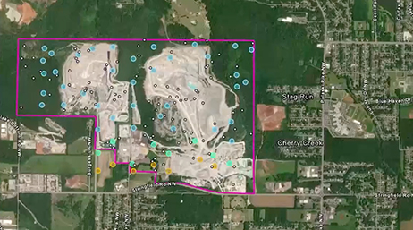
GIS-Driven Reclamation for Mine Closure
Webinar
Protecting People, Places, and Assets in Mining
Webinar
Mineral Exploration Using ArcGIS Technology
Webinar
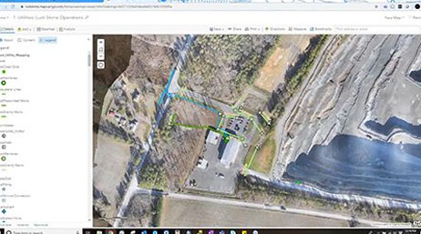
Workflows with Mobile Apps
Webinar
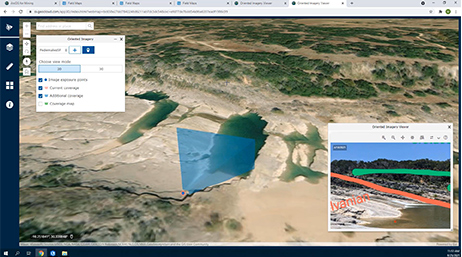
Location Intelligence with Drones and ArcGIS
Webinar
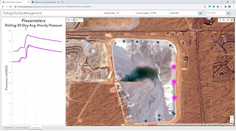
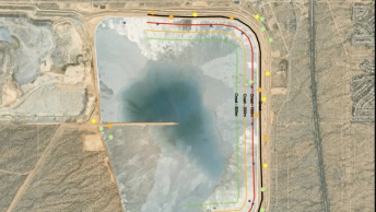
Geospatial Strategies for Tailings Storage
Webinar

Geospatial Strategies for Tailings Storage II
Webinar
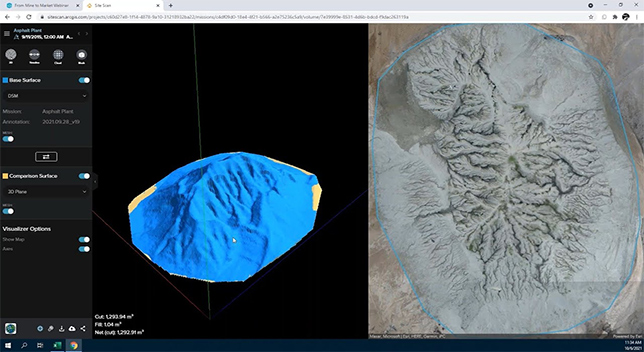
From Mine to Market
Webinar

ArcGIS Pro and Geospatial Workflows in Mining
Webinar
Using Imagery to Improve Mine Operations Workflows
Webinar