Case study
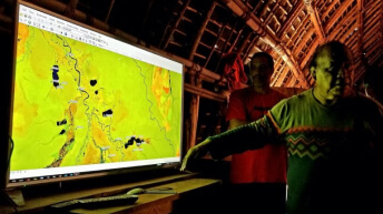
A GIS-powered strategy for long-term resilience
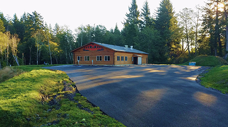
The Shoalwater Bay Tribal Nation loses up to 130 feet of land annually due to severe erosion. GIS is central to relocation efforts.
Discover the new international GeoHub for the Esri Native Nations community, which provides access to data, apps, tools, and capacity building.
A GIS-powered strategy for long-term resilience
Tribe taps location intelligence for Census
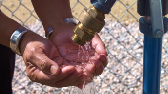
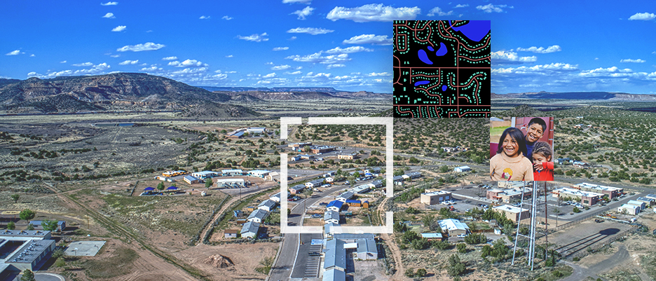
Expediting water relief for the Navajo Nation
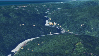
Protecting a community

Mapping Canada's missing children
Tribe launches cultural resource system

Resilient by design

Field operations for environmental compliance
Join the geospatial conversation, ask your questions, or browse the forums.

Instructor-led and self-paced options help individuals apply best practices and quickly learn ArcGIS software. Esri training consultants provide complimentary planning services to identify options that will best meet an organization's immediate, short-term, and long-term workforce training needs.
