Modernizing Asset Management

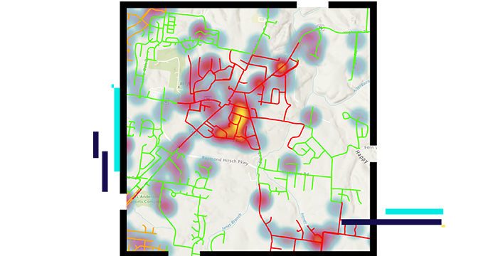
Map with red and green lines

Enhance asset management with spatial intelligence

ArcGIS enables a holistic approach with fresh insights about performance, risks, resources, and costs. Since assets are spatial, their exchange of influence is not only reciprocal but also determined by their criticality and location. In relationship to other assets, ArcGIS adapts to ever-changing conditions in emergencies and can discover patterns and trends with a more sophisticated level of reporting. ArcGIS is essential for water asset management plans.

To learn more about how ArcGIS supports asset management plans, download the ebook Modernizing Asset Management.

Download the ebook

Real-world modeling

Esri's ArcGIS models the entire network with spatially accurate data. It has the tools to model networks as they really are on the ground. ArcGIS offers connectivity modeling of assets in two and three dimensions, supporting best practices and industry standards.

Map of water infrastructure

Visualization and analytics

You need greater insight into your network—in relationship to both its surroundings and its threats. Visualization plays a strong role in effectively managing assets. The spatial analysis tools of ArcGIS sharpen your understanding of where the network is most at risk.

Asset failure and risk assessment map dashboard

Mobile and interoperable

ArcGIS brings network functionality to any device—anytime, anywhere—for complete operational awareness. Advanced data collection tools for the field improve asset inspections. Share the immediate state of assets with stakeholders across the organization.

Water distribution map

Innovation leads to a state-of-the-art utility GIS

Learn how a Connecticut sewer utility has developed an innovative new GIS, enabling enhanced efficiency, data management, and future planning.

Read the blog

Water utilities segments

Previous
Next
See all water industries

Contact sales

Connect with the Esri water utilities team