Skip to Content

Operational Intelligence

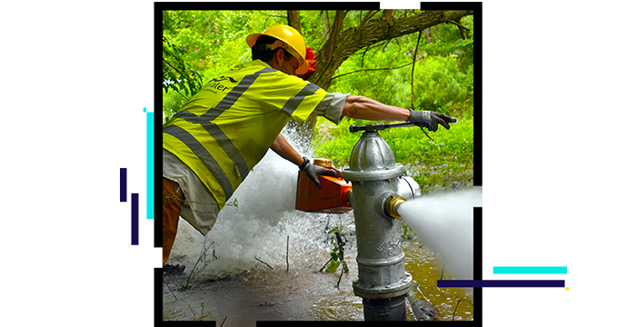
Operations management for water utilities

Person adjusting a fire hydrant that is dispersing water

Transforming operations management

Successful operations management for water utilities optimizes resources to increase productivity and reduce lost time. ArcGIS transforms operations with easy-to-use apps that improve collaboration, coordination, and decision-making and offer real-time operational views to office and field staff. Esri provides insight into live operations to help organizations deliver tactical responses. Create full operational awareness at your organization with ArcGIS.


To learn more about how ArcGIS supports water utility operations management, download the ebook Transforming Operations Management.

Download the ebook

Increased efficiency

The activities of a geographically dispersed operation can be brought together in a map-based view, providing decision-makers with all the key facts in one place, avoiding confusion, and saving time.

Tank levels map dashboard

Enhanced customer experience

With access to a real-time operational view of activities, customer service staff can quickly provide accurate information, improving customer engagements. Sharing activities in a public-facing web map can create a self-service channel for customers.

Reported issues investigations dashboard

Improved performance

Analytics determines why assets failed, identifies patterns and trends, and helps focus investment where it is needed most. Understanding spatial relationships enables organizations to identify, evaluate, and mitigate risk. Continually improve outcomes with increased understanding.

Map of work orders and issues

USER STORY

GIS touches every aspect of Central Arkansas Water

GIS provides a lifeline to Central Arkansas Water staff by making the information they need available from any device at any time.

Go to the user story

Water utilities segments

Previous
Next
See all water industries

Contact sales

Connect with the Esri water utilities team