Ebook
Building a Modern Network Information Management System
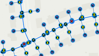
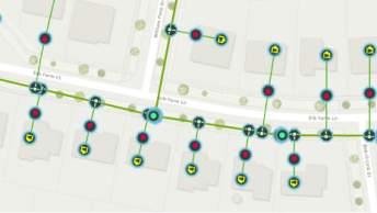
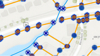
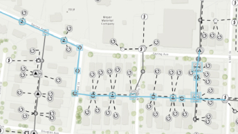
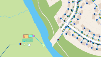
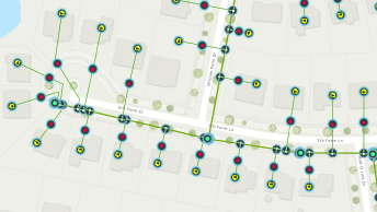
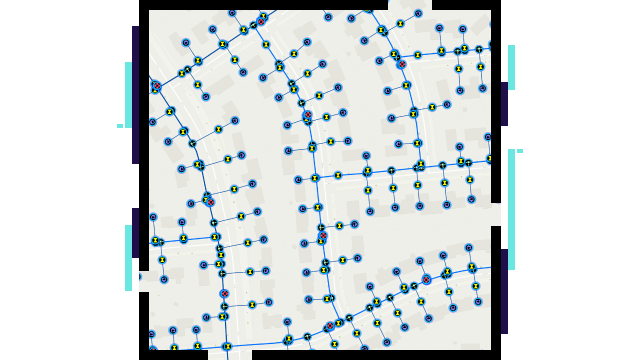
Water utilities need powerful tools to effectively manage their networks. Learn how utilities use Esri’s ArcGIS to achieve success by intelligently modeling and analyzing advanced networks.