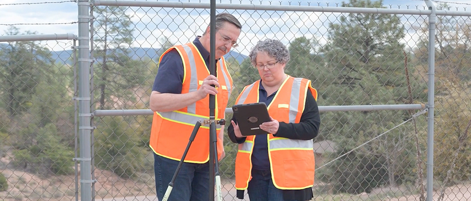
Easy-to-use maps and applications enable your organization to collect, use, and share information with everyone that needs it
Maps have always been essential to understanding and improving the delivery of safe, clean drinking water and reliable sewer and stormwater services. Today, digital maps enable field crews to quickly view and collect data with mobile devices. Eliminating paper forms and data entry improves workflows across the organization and provides a simple way to share information with others. Learn how you can use GIS to resolve common business challenges in Getting Started with Digital Transformation Using ArcGIS: A Guide for Small and Rural Water Utilities.
Download the guide
Discover resources for water utility workflows
Collect data
Support asset management
Gain operational awareness
Collect data
Start mapping your system by collecting data in the field. Easy-to-use applications help you build maps and populate your asset registry, supporting workflow efficiency.
Learn about ArcGIS Field Maps
Support asset management
Assets are spatial—they all have locations, and every location has a story to tell. Using location, utilities discover patterns and trends that simple reporting cannot reveal, improving asset management results.
Download the ebook
Gain operational awareness
Web maps and apps connect staff inside and outside the office. Dashboards display operational views of work, specific to the user's needs. Seeing mobile activities in real time improves workflows, resulting in more work completed in less time.
Download the operations ebook
USER STORY
GIS: A large role at a small utility
Scott Ramsay, operations manager, shares how he started with no knowledge of GIS but ended up developing it as an invaluable tool.
Go to the user story
USER STORY
ORWA: Supporting members with digital mapping
The Ohio Rural Water Association (ORWA) assists Ohio's public water systems in complying with new requirements for asset management programs.
Go to the user story
USER STORY
Mapping a rural water system with high accuracy
Rockett Special Utility District replaced paper maps and manual workflows with a modern, real-time, field-to-office mapping system.
Go to the user story
USER STORY
Green Valley Water uses GIS to secure the future
Green Valley Water relied on institutional knowledge and paper to manage workflows. It turned to ArcGIS to secure the future.
Go to the user story
USER STORY
Mobile app increases efficiency at LRDD
Instead of spending thousands on a fuel management system, The Little River Drainage District (LRDD) built one with ArcGIS to streamline workflows.
Go to the user story
USER STORY
Increasing mobile work efficiency by 210 percent
2NDNATURE’s cloud-based stormwater compliance platform for MS4 programs, powered by Esri's ArcGIS technology, was a game changer for Yavapai County.
Go to the user story
ArcGIS transforms Lebanon Water
Implementing ArcGIS allowed Lebanon Water to eliminate paper workflows, access information in real time, and share information with stakeholders.
0:00
GIS for small and rural water utilities
Learn how Esri supports small and rural water systems