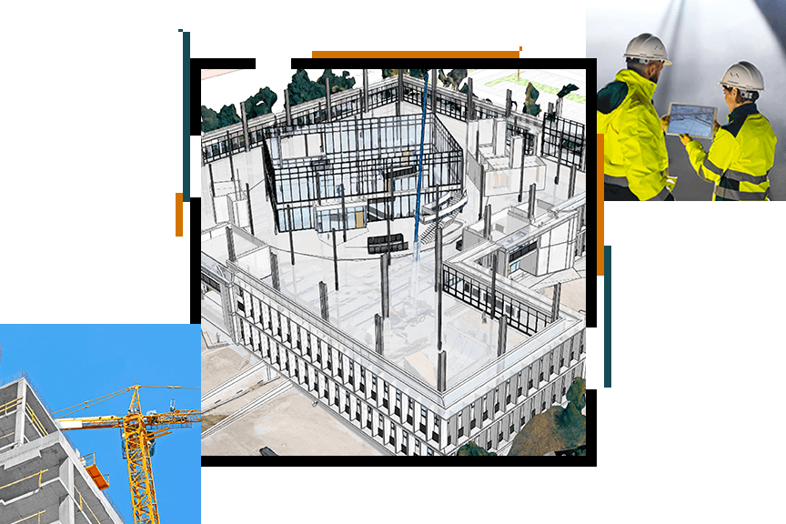
Skip to Content

DDSI Estimates 20 Percent ROI Improvement by Switching to Collector Laser Mapping Solution

DDSI surveys and provides boundary information for telecommunication cell sites. Its drawings are used by architecture and engineering firms to propose site modifications that expand bandwidth and accommodate additional carriers.

The biggest challenge field crews faced was signal failure under canopy forcing them to use a variety of field collection methods. DDSI adopted a new laser mapping solution from Esri and Esri Silver Partner Eos Positioning Systems allowing field crews to collect all topographic features under any field conditions with decimeter accuracy on their tablets. The new workflow helps DDSI improve per-project return on investment (ROI) by an estimated 20 percent.

In this webinar, DDSI's Mike George explains how the laser mapping solution works and how it saves time and money. Eos Positioning Systems' Sarah Alban joins him with Esri’s Doug Morgenthaler.

Register now

Please fill out your contact info below to register for the webinar.