
Geodesign and Urban and Regional Planning
Help students plan the future they envision
Resources for teaching and research in higher education

GIS for planners
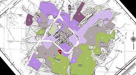
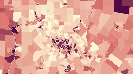
Planners deal with a dizzying array of challenges on a daily basis, including housing, climate change, transportation, and access to parks and open spaces. One of the factors unifying them all is location. GIS provides easy-to-use tools that allow planning students to understand and to solve these complex urban and regional issues.

GIS for urban design
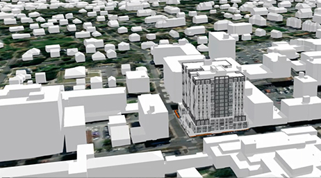
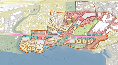
Spatial tools allow urban designers to effectively assess and understand the complex interplay of land use, transportation, demographics, and the environment. GIS provides a framework to allow effective communication and collaboration among stakeholders. Urban design students have the ability to understand and present data in its spatial context to foster engagement and inform decision-making.

Resources
- GIS for planners
- GIS for urban design
Previous
Next
Previous
Next
Webinars and videos
-
A geodesign framework for equity and inclusion
Webinar
Discover web-based solutions that help planners address the social, cultural, and economic needs of their communities through a GIS framework. -
Strategies for urban planning with digital twins
Webinar
Explore how digital twins empower planners to identify sustainable development opportunities, promote transparency and create smart communities. -
Urban and regional planning with ArcGIS Urban
Webinar
In this webinar you’ll explore the exciting emerging technology patterns that MPOs are using to support a more modern approach to urban planning. -
GIS for planning in higher education
Webinar
This webinar highlights new tools, software updates, and the ways that educators can incorporate modern GIS into their courses and curriculum.
Previous
Next
Want help getting started?
Request help from Esri’s education team to add GIS to your planning and design courses and research.