Skip to Content

Spatial Data Science in Higher Education

Resources for teaching and research

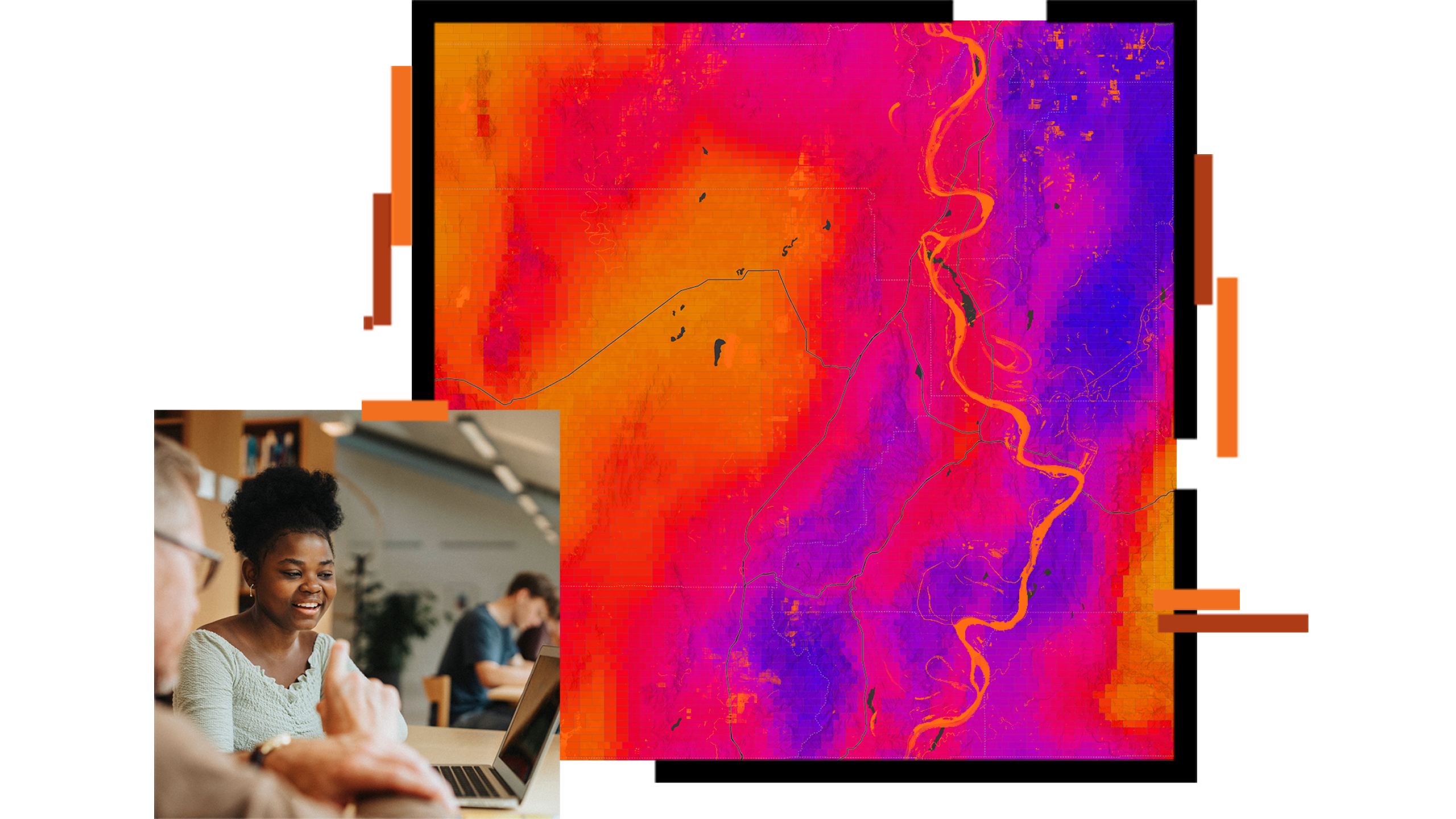
A heat map of the southwestern United States with areas defined by hexagons

Spatial Analysis and Data Science

Spatial data science solves problems by transforming data into useful information. It enriches traditional data science by incorporating spatial characteristics such as proximity, coincidence, and connectivity in creating models and making predictions. Spatial data science gives students unique skills and advantages that are in high demand in the workplace. This web page is your first step in learning how to incorporate spatial data science into your curriculum through capabilities, examples, success stories, and training.

Spatial data science overview

Get Started

Combine powerful and out-of-the-box analytic tools with integration into external frameworks.

Previous
Next

User story

Why adopting GIS in data science programs works

The University of Wisconsin-Madison’s data science major has a key differentiator: a geospatial data science track that introduces students to GIS.

Read the user story

Want help getting started?

Request help from Esri’s education team to add spatial data science to your teaching and research.