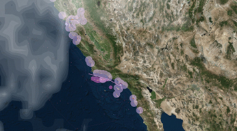
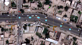
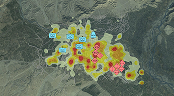
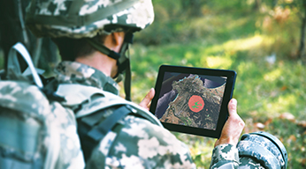
National Geospatial-Intelligence Agency's (NGA) Commercial Joint Mapping Toolkit (CJMTK) delivers a cutting-edge geospatial platform for command, control, and intelligence (C2I) mission systems to integrate maps, imagery, sensor information, intelligence, and spatial analysis to help commanders understand the battle space and take decisive action. Built on ArcGIS®, Esri's industry-leading enterprise GIS platform, CJMTK provides access to key information and decision-support tools on any device, anywhere, and anytime.
NGA provides CJMTK and full lifecycle support at no charge to approved Department of Defense (DoD) C2I programs for the development and fielding of modern warfighting systems. CJMTK offers regular software upgrades, consulting services, technical support, and training to facilitate successful integration of GEOINT into DOD C2I mission systems. Please contact us below to find out more from Esri’s CJMTK Program Manager.


