Skip to Content

Connect with an industry expert

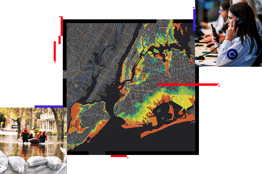
Esri's solution for emergency management operations is a fully integrated system that allows you, your team, and unlimited partner agencies to maintain shared situational awareness at all points during a response. With real-time data feeds continually updating configurable, cloud-based dashboards and maps, your teams' data becomes instantly available to inform the public and your mission-critical decisions at the same time. 

Whether you’re new to geographic information system (GIS) technology or familiar with our mapping and analytics software, getting your organization up and running with ArcGIS is as simple as a quick conversation. Our experts are here to answer your questions and give you a quick demo.

Find out how Esri can help your agency