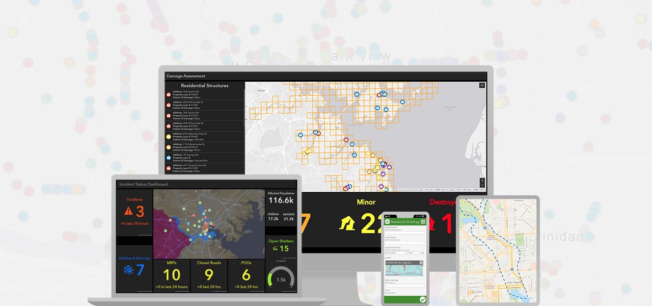
Gain real-time situational awareness
Get up-to-date information about incidents and assets on interactive maps. Provide your team with a living picture of events as they unfold, enabling staff to respond effectively.
Your duty in the community is imperative when it comes to being prepared for the new normal of disaster. However, your demanding workload may delay the implementation of a modern emergency management solution. Our on-site consultation package offers the configuration and training you need to start operating more efficiently. Our experienced consultants will configure your ArcGIS implementation, deploy critical workflows for emergency management, and teach your team best practices in leveraging Web GIS.

A consultation service to expedite the implementation of your emergency management solution
Our on-site consultant will implement information products and workflows, then provide best practices for leveraging GIS for emergency management.
An Esri representative will configure and deploy your situational awareness viewer, damage assessment application, public information map, and more.
E-Learning focuses on shelter location analysis, damage assessment, and more. It is designed to complement the consultation services package.
Using the ArcGIS platform was a way of bringing together all the agencies, of sharing data on Puerto Rico, [and] of helping organize the response efforts and then the recovery efforts. Everything could be easily deployed, and so fast—no programming needed. And I think that really made a difference. Without that, the response would have been slower than what it actually was."
Let's continue the conversation about your emergency operations workflow! Please complete the form below and one of our representatives will reach out to provide more information and assess your organization's needs.