Definition
What is GeoAI?
Geospatial artificial intelligence (GeoAI) is the application of artificial intelligence (AI) fused with geospatial data, science, and technology to accelerate real-world understanding of business opportunities, environmental impacts, and operational risks. Organizations are modernizing operations to run at scale through automated data generation and approachable spatial tools and algorithms.
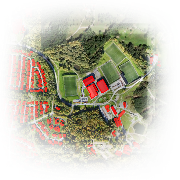
Extract rich geospatial data with deep learning
Save time by automating the extraction, classification, and detection of information from data such as imagery, video, point clouds, and text.
Perform predictive analysis using machine learning
Build more accurate models. Detect clusters, calculate change, find patterns, and forecast outcomes with spatial algorithms backed by experts.