Strategically plan
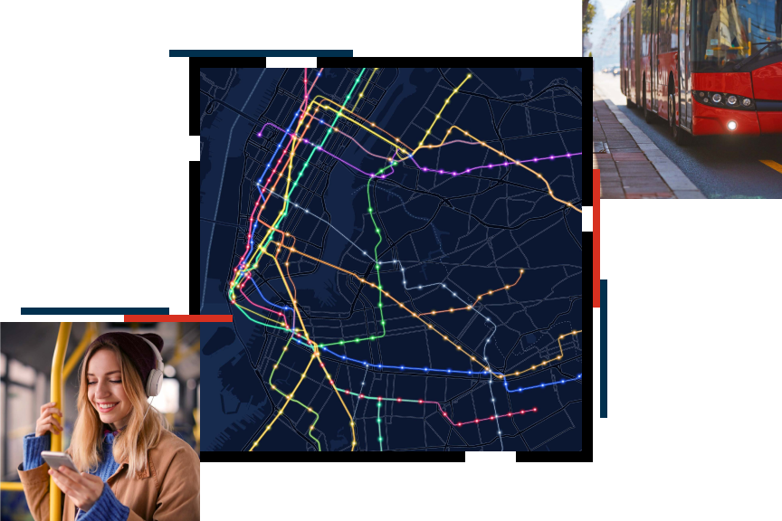
Analyze and visualize residential and employment densities as well as overlay existing and planned land uses to help maximize ridership and development goals.
GIS technology is embraced as a tool by hundreds of public transportation organizations for better planning, maintaining assets, and providing for changing ridership demands, among a growing list of activities. Esri has created the Small Public Transit Agency Enterprise Agreement to reduce the cost barrier for smaller transit agencies. Now, smaller agencies can access the same software, solutions, and training they need to advance urban mobility, improve service, and reduce carbon emissions.
With the Small Public Transit Enterprise Agreement, agencies are provided access to essential tools, apps, and services to help them further implement a location-based strategy within their community.
Esri software supports data visualization, advanced analysis, authoritative data maintenance, identifying patterns, and sharing those results within an organization and with citizens.
Esri provides complimentary, authoritative, and ready-to-use content, from the leading business establishment and lifestyle datasets to basemaps and apps that supplement an organization's own geospatial data.
Esri offers solutions that range from posting planned service changes to mapping route and stop features and managing service change communication. Additional solutions are being created to aid transit operations.
Esri has many online training and in-person help resources, such as complimentary passes to the Esri User Conference and discounted training courses and seminars, to further a user's GIS knowledge and expertise.