Empowering Water Utilities with Business Intelligence
How to make data-driven decisions with analytics
Harness the power of your data for informed decision-making
Because water data is tied to location, many utilities already use ArcGIS to map the location of pipes, valves, pumps, meters, and other assets. Unfortunately, many agencies often don't take advantage of ArcGIS analytic capabilities.
In this ebook, you will learn how leading utilities are using ArcGIS to broaden operational awareness by integrating customer, climate, and other datasets into their own data to gain insights. See how different utilities are leveraging business intelligence to turn data into actionable intelligence—as a result, saving labor hours, improving targeted customer outreach communications, and predicting where breaks are likely to occur in the future. See how you can dig in to find answers to the following questions:
- Where are my main breaks located?
- How many breaks do I have on each water main segment?
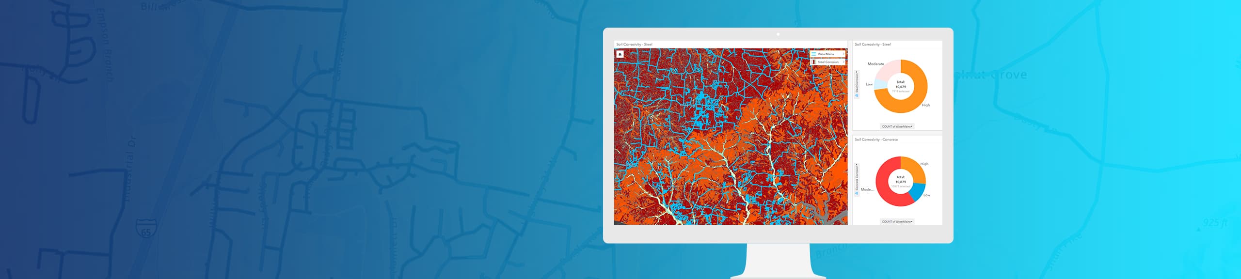
- What are the environmental conditions surrounding my water main break?
- How do I locate and isolate the main break and determine its impact?
- Which water main breaks are most likely to break next and when?
Download the ebook
Start learning how you can leverage business intelligence to improve your utility's operations.