Unlock drone mapping potential with GIS
Connect drone imagery and crucial location data in ArcGIS, the world’s leading geographic information system (GIS) technology.
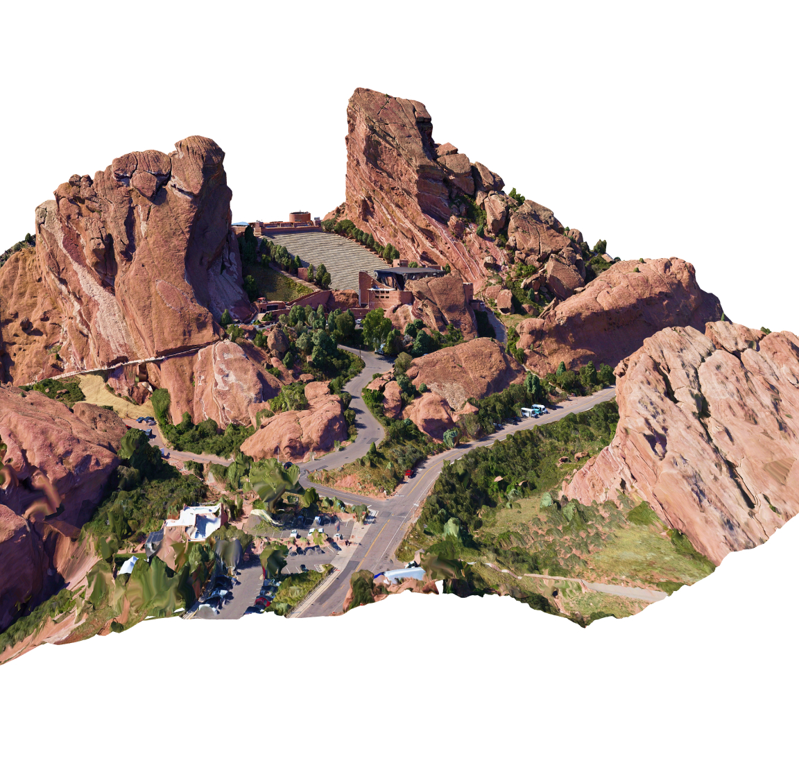
Add geospatial context to imagery
Gain an unmatched view of assets and operations with reality mapping, high-quality drone imagery layered on GIS maps.
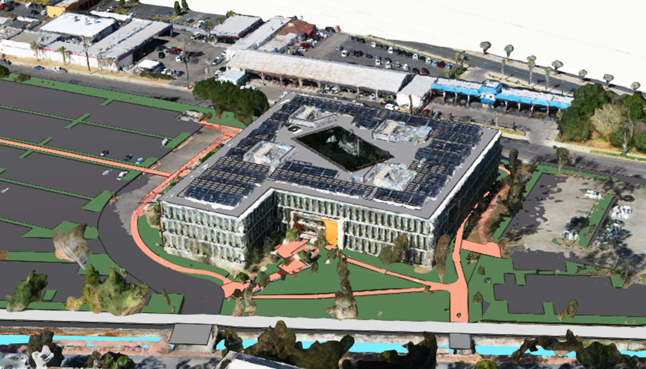
Scale drone operations and drive productivity
Unify all elements of an end-to-end workflow—including data capture, management, analysis, mapping, and sharing—in a system built for growth.
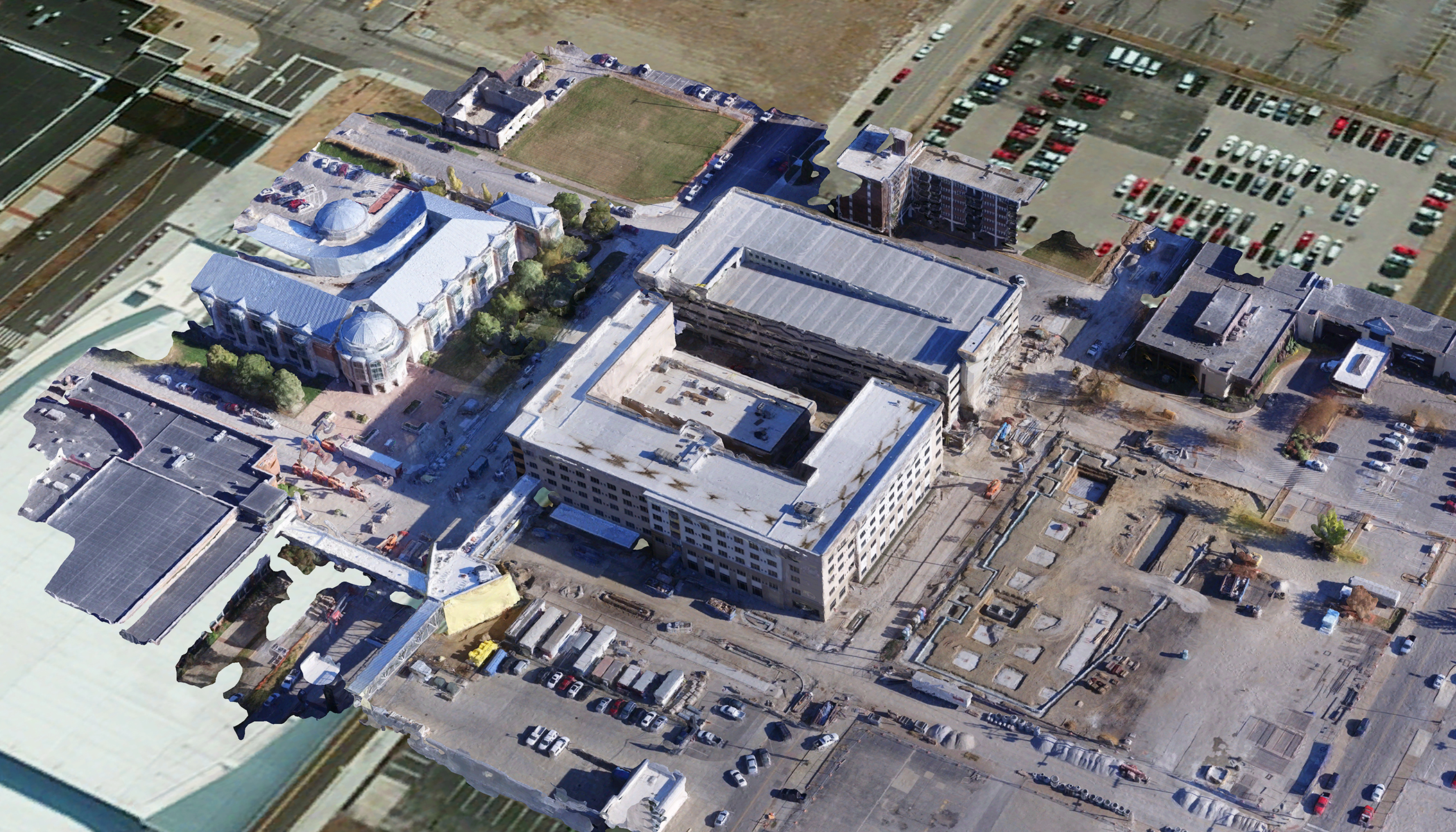
Power strategic outcomes enterprise-wide
Strengthen decision-making at every level of your organization by incorporating drone imagery into workflows and business systems.