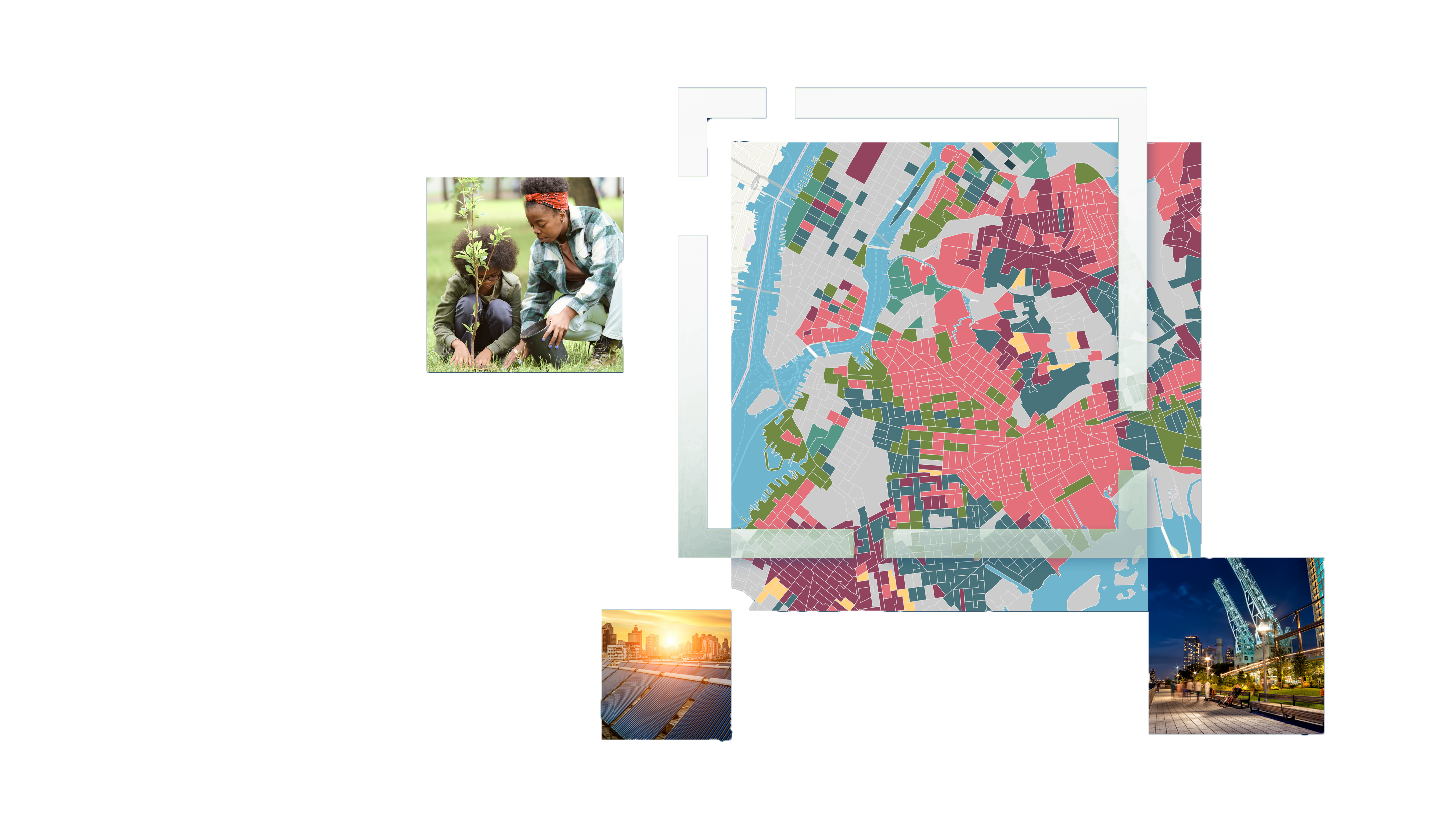
Discover how New York City can realize sustainability with a geographic approach
Sustainable urban planning and climate action planning are inseparable. City leaders around the world, from Singapore to Vienna, are finding effective solutions to combat the effects of climate change, including storm protection, heat island prevention, and coastal defense. At the same time, they are strengthening infrastructure, improving quality of life, and protecting natural resources for the next generation.
In this executive brief, you’ll discover how innovative cities use a problem-solving framework powered by location technology to achieve success. Learn how to:
- Understand the problem: Observe complex risks—and the people, places, and systems they will impact—with clarity.
- Analyze and assess vulnerabilities and risk: Use a data-driven approach to quantify the likelihood and costs of immediate or future threats.
- Investigate and communicate: Share key insights in engaging visual formats, like interactive maps and tracking dashboards.
- Prioritize and plan: Decide where action is needed most urgently and create strategies for risk mitigation that are tailored to each situation.
- Take action: Apply technology to manage, track, and carry out initiatives, from adding green spaces to developing carbon-neutral buildings.
Download the executive brief now—available in both text and audio formats—to learn how this geographic approach enables climate resilience today and sustains urban life in the future.
Get the Executive Brief
Access the brief in text and audio formats.

