Meet with Esri at buildingSMART International Standards Summit
October 18–21, 2022 | Montreal, Canada
Sign up for a demonstration and chat with our experts.
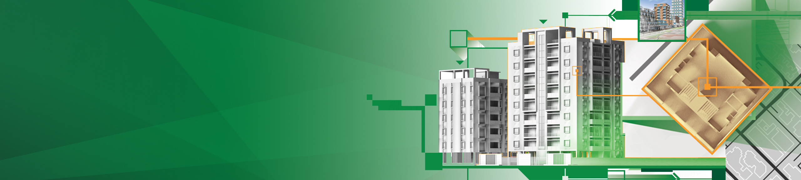
Connecting GIS with BIM to boost project delivery
Geographic information system (GIS) software adds important context to building information modelling (BIM) data, allowing you to design resilient, sustainable environments that help communities adapt and thrive. Architects, city planners, builders, and civil engineers can use Esri’s ArcGIS to effectively collaborate and understand a project’s impact, leading to better designs and reduced costs.
Sign up for a demonstration and chat with our experts to learn how to integrate ArcGIS into all phases of the BIM life cycle, from planning and design phases to field operations and construction management.
Additionally, attend the session Enabling a National OpenBIM Digital Twin Ecosystem on Wednesday, October 19, for a presentation by Marc Goldman, Esri’s director of industry solutions for AEC.