
Top 10 GIS & BIM Integration Tips for AEC
May 31, 2022 | 11:00 a.m.–12:00 p.m. (PT) / 2:00–3:00 p.m. (ET)
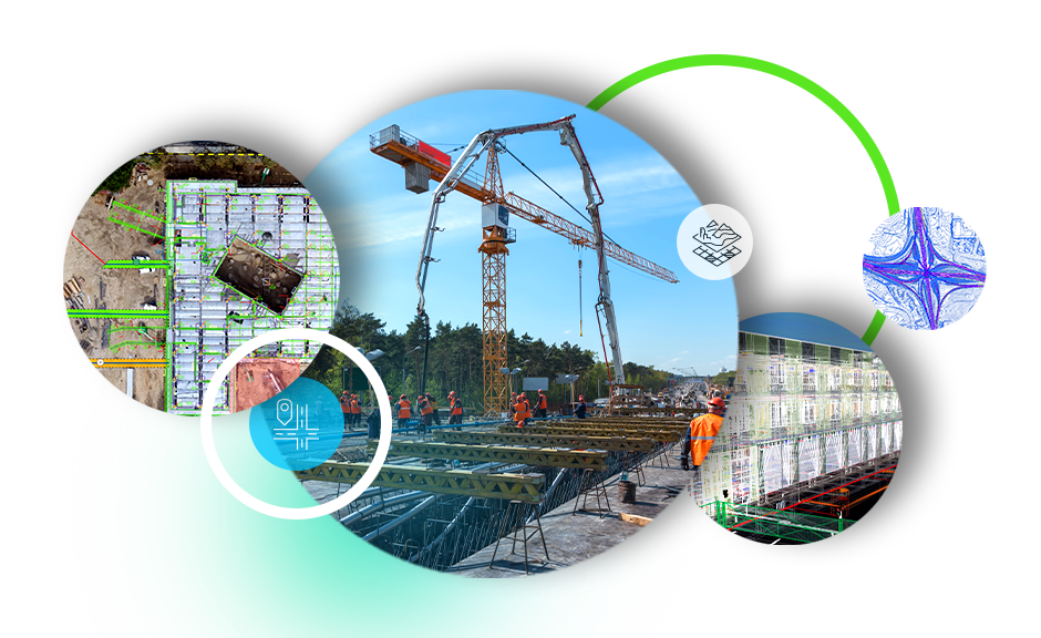
Learn best practices to connect your ArcGIS workflows with BIM and CAD data from Autodesk
Bringing geospatial context to building information modeling (BIM) data used in architecture, engineering, and construction (AEC) projects has never been more important. Driven by ISO 19650 principles, this webinar explores tips for setting projects up for success, improving collaboration across teams, and driving better outcomes through project delivery.
We cover best practices for bringing GIS and BIM or CAD together in ArcGIS Pro, ArcGIS Online, and ArcGIS GeoBIM to
- Set up BIM projects from Autodesk Construction Cloud®.
- Bring geospatial context to design and engineering projects.
- Choose the best Esri-Autodesk connectors for your workflows.
- Unlock the value of BIM content with building scene layers.
This technical webinar is recommended for GIS and IT professionals using ArcGIS, as well as BIM and CAD professionals and civil engineers using Autodesk® BIM Collaborate Pro (formerly BIM 360® Design), Revit®, Civil 3D®, and AutoCAD®. Following the content, there will also be live Q&A with members of Esri's AEC solution engineering team.
Watch the recording
Access the recording on-demand