
Leveraging Cloud to Optimize Drone Mapping in Teaching and Research
Higher Education Webinar
October 19, 2023 | 10:00 a.m. (PT)
Incorporate drone mapping using ArcGIS into your classroom
The use of drone technology is proliferating, making it easier and more cost-effective to capture high-resolution images whenever needed. Many educators are now incorporating drone data into their teaching and research. Many are also interested in the ability to use a cloud platform to process, analyze, and visualize the data obtained from drone mapping.
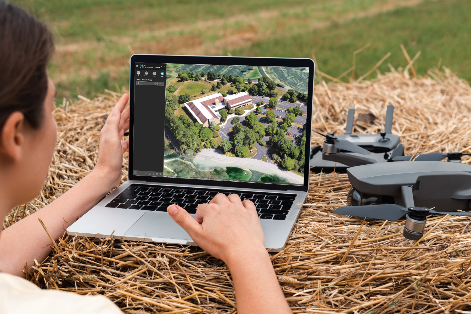
Join us for a webinar to learn about Site Scan for ArcGIS, the end-to-end, cloud-based drone mapping software designed to revolutionize imagery data collection, processing, and analysis. With this software as a service (SaaS) product, you can easily collaborate with your students and peers in a connected online environment and manage your data without expensive infrastructure.
By attending this webinar, you will have the opportunity to
- Gain knowledge about the capabilities of Site Scan for ArcGIS.
- Learn from fellow academics who are already utilizing Site Scan for ArcGIS in their research, teaching, and campus operations.
- Access resources to help you get started with using Site Scan for ArcGIS.