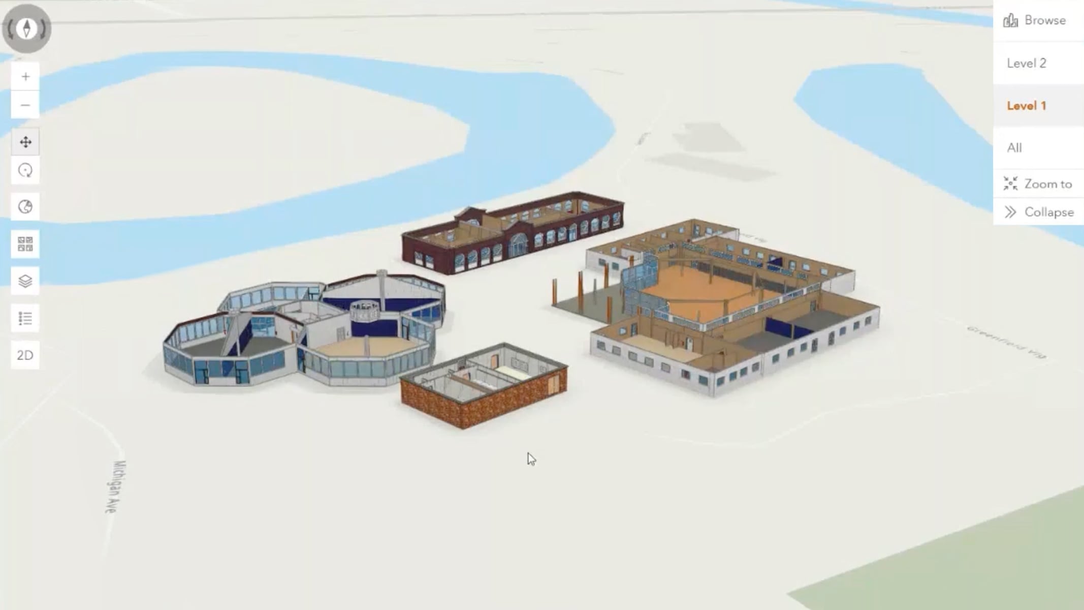
The Henry Ford Museum builds a smarter campus
Learn how geospatial tools like lidar, 3D BIM, and drone mapping are transforming facility management and visitor engagement.
Higher education
Learn how leading universities leverage and deploy ArcGIS to improve facilities management operations.

Browse a collection of past webinars
The Henry Ford Museum builds a smarter campus

Leveraging indoor GIS on campus

Campus safety and security with GIS

Streamline campus field operations with GIS

Maps and navigation for campus operations

A geospatial strategy for campus operations

Educational licensing for campus operations
Explore resources and success stories to improve campus facilities management operations.
