
GIS Takes the Chaos Out of Emergency Management
An ebook for electric and water utilities
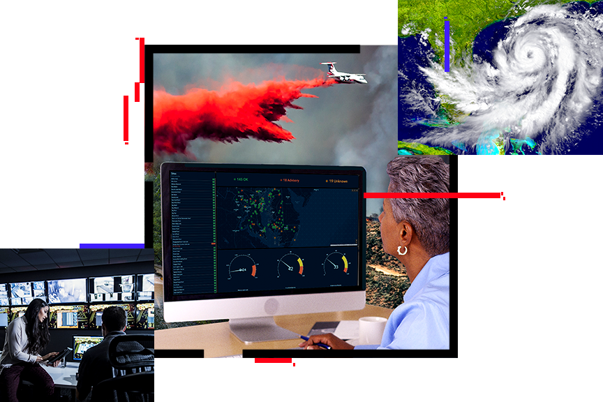
Respond with real-time information
Because a utility’s emergency processes rely heavily on location, a geographic information system (GIS) is critical to providing timely, accurate, and complete information from various sources. In this ebook, you’ll discover how Esri’s ArcGIS software can help utilities
- Build more resilient systems.
- Locate customers, assets, and buildings scattered throughout service territories.
- Pinpoint the location of disasters, weaknesses, outages, damages, and materials.
- Support emergency management decisions with real-time information.
Download the ebook
Submit your information to download this ebook.