
The Geographic Approach to Environmental Management
A Webinar Series for Environmental Professionals
The demand for applied environmental knowledge is stronger and more diverse than ever. Private corporations and small businesses alike seek to provide goods and services in a more sustainable way. Government policies around formerly mutually exclusive topics now have stronger language around environmental impacts and justice, globally. The movement to address and mitigate climate change is accelerating how we apply technology and innovate to address complex and interrelated issues of our economy, our wellbeing and our environmental health. At the heart of this is the question: How do we achieve a more sustainable future? Sustainability requires that we understand the interconnectedness of our world as one ecosystem. Gaining this understanding requires geography as the language to reveal this interconnectedness and derive solutions to achieve a more sustainable future. This webinar series will explore current trends driving this need and how GIS can help evaluate, visualize, and design solutions for a more sustainable future.
GIS for Environmental Regulation
Date: October 19, 2022
Location: Virtual
Language: English
Environmental agencies are tasked with keeping our environment and communities safe from harmful pollutants. They use GIS to assess project impacts, inform policy and provide guidance, facilitate community engagement, monitor environmental assets in real time, and provide transparency for better outcomes for all. A geographic approach allows agencies to track the health of the environment, assess community burdens, identify the source of pollutants, and prevent environmental hazards from becoming a disaster. GIS provides better insights, faster. This webinar explores the use of GIS to promote equitable access to clean land, air, and water in our communities. Join the webinar to understand the GIS tools you need to
- Ensure compliance through review, permitting, and inspections.
- Assess environmental burdens on communities.
- Monitor environmental assets in real time.
- Measure and report on impact.
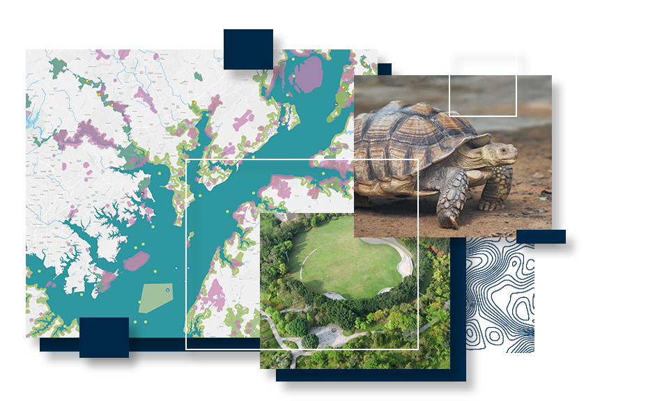
GIS for Land and Wildlife Management
Date: August 25, 2022
Location: Virtual
Language: English
Land management agencies protect our communities’ natural and cultural resources. Understanding the relationships between ecosystems and our impacts on them requires a geographic approach. With GIS, managers can monitor species and ecosystems in real-time, or take mobile tools offline for monitoring in remote areas. Capture the extent of management activities and measure their impact through time. Turn this data in to a conservation plan with spatial analytics. This webinar explores the use of GIS to:
- Protect, restore, and manage our natural resources
- Plan and prioritize resource protection
- Implement and track stewardship and restoration initiatives
- Monitor species and ecosystems in real-time
What the Infrastructure Bill Means for Environmental Organizations and How GIS Can Help
Date: July 28, 2022
Location: Virtual
Language: English
The urgency to adapt to climate change is accelerating. This is also shaping policy, which asks us to be more sensitive to environmental and social impacts. Environmental organizations are challenged to manage the influx of responsibilities while meeting expectations around resiliency, sustainability, and equity. This webinar will introduce GIS solutions to streamline various impacted workflows.