
Esri Land Administration for Latin America Webinar Series
Register for a series of webinars supporting geospatial authorities on foundational datasets
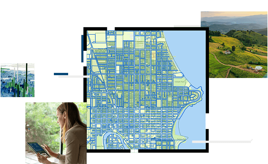
Explore GIS for land administration and land records in Latin America
National cadastral agencies and other national geospatial authorities in Latin America face significant challenges with modernizing their land information systems. In this new four-part webinar series, the Esri national geospatial authorities team will be offering the Land Administration Suite of Solutions for Latin America. The webinars will be given in English with Spanish subtitles. We are coordinating closely with our local distributors in the region to provide support and the most up-to-date information for this webinar series.
Field data collection and mobile worker management
Modern Cadastral Field Operations
Location: Virtual
Cost: No cost
Language: English, Spanish subtitles
Geographic information system (GIS) technology is critical infrastructure for all cadastral operations. GIS delivers configurable workflows for collecting high-accuracy and fit-for-purpose data in the field. ArcGIS offers a ready-made method for collecting field data that is compliant with the Land Administration Domain Model (LADM) standard. In this webinar, you’ll learn how ArcGIS can help you modernize your organization and conduct efficient field operations.
Efficient and accurate parcel management
Parcel Management with GIS
Location: Virtual
Cost: No cost
Language: English, Spanish subtitles
The parcel fabric is a purpose-built capability that manages parcel data integrity, survey records, history, 3D data, and more. The parcel fabric is configurable to work with many unique requirements. This webinar will show you how the parcel fabric delivers mapping efficiencies and helps improve data quality, whether you’re just getting started or already managing an enterprise cadastral system.
Property valuation
Improving Property Valuation with GIS
Location: Virtual
Cost: No cost
Language: English, Spanish subtitles
Learn how you can leverage ArcGIS to improve existing property values with spatial analysis, automate data collection with deep learning feature extraction models, and add to property characteristics with visualization tools such as viewshed analysis. In this webinar, we’ll discuss different strategies for augmenting existing property data to achieve defensible values using GIS.
Public engagement
Evolving Your Government’s Public Engagement Strategy
Location: Virtual
Cost: No cost
Language: English, Spanish subtitles
Innovations in technology change our expectations of how governments should communicate with us and deliver data, and governments are challenged with meeting public expectations. In this webinar, we will present how public engagement has evolved, what is changing now, and what governments can do to keep pace.