
Humanitarian Community GIS Day
A Public Safety webinar
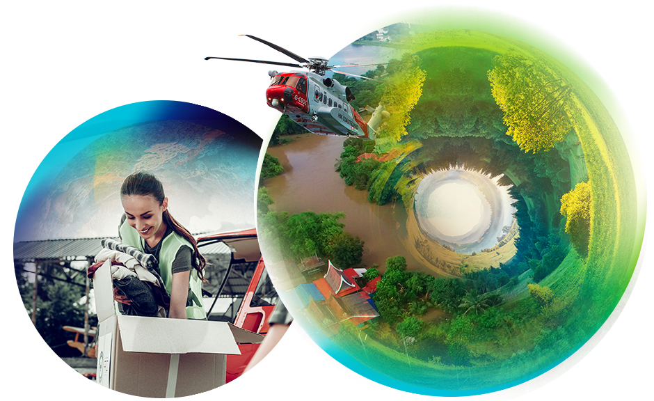
Hear inspirational use cases from humanitarians in the field
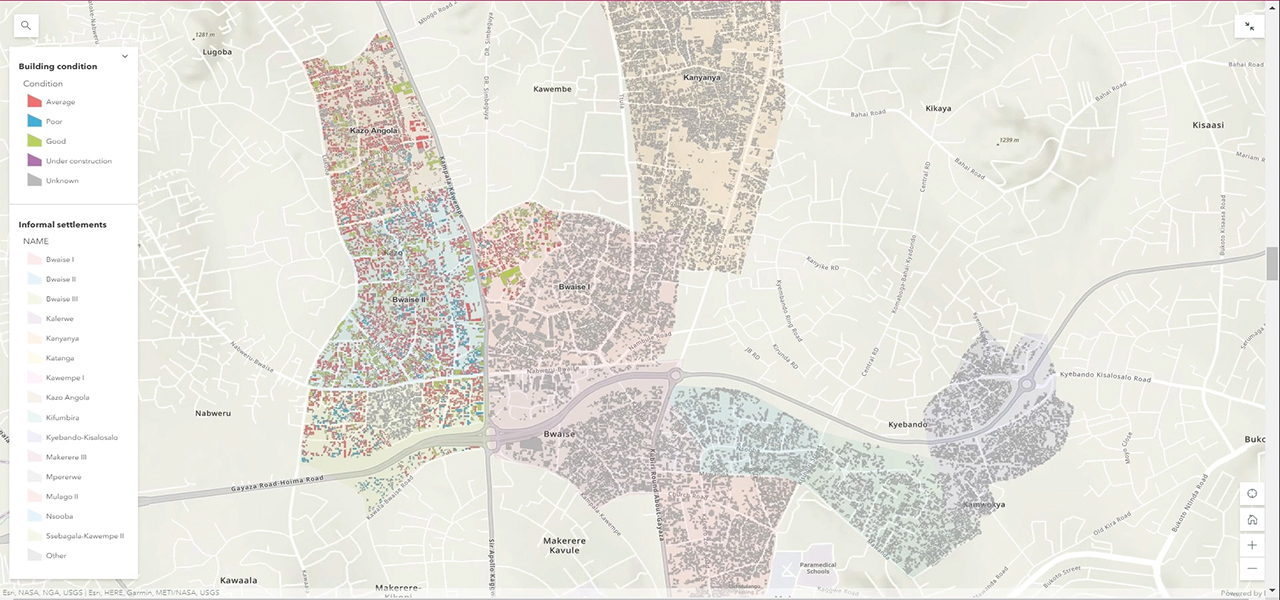
Learn how the new Humanitarian GIS Hub organizes GIS resources and facilitates information and experience sharing between community members. The hub is the starting point to explore new geospatial functionality and discover a selection of fascinating applications from humanitarian organizations across the world.
Share your story
Share your humanitarian success stories to amplify your work and inspire others.