
ArcGIS: The Foundation for Digital Twins
An infrastructure ebook
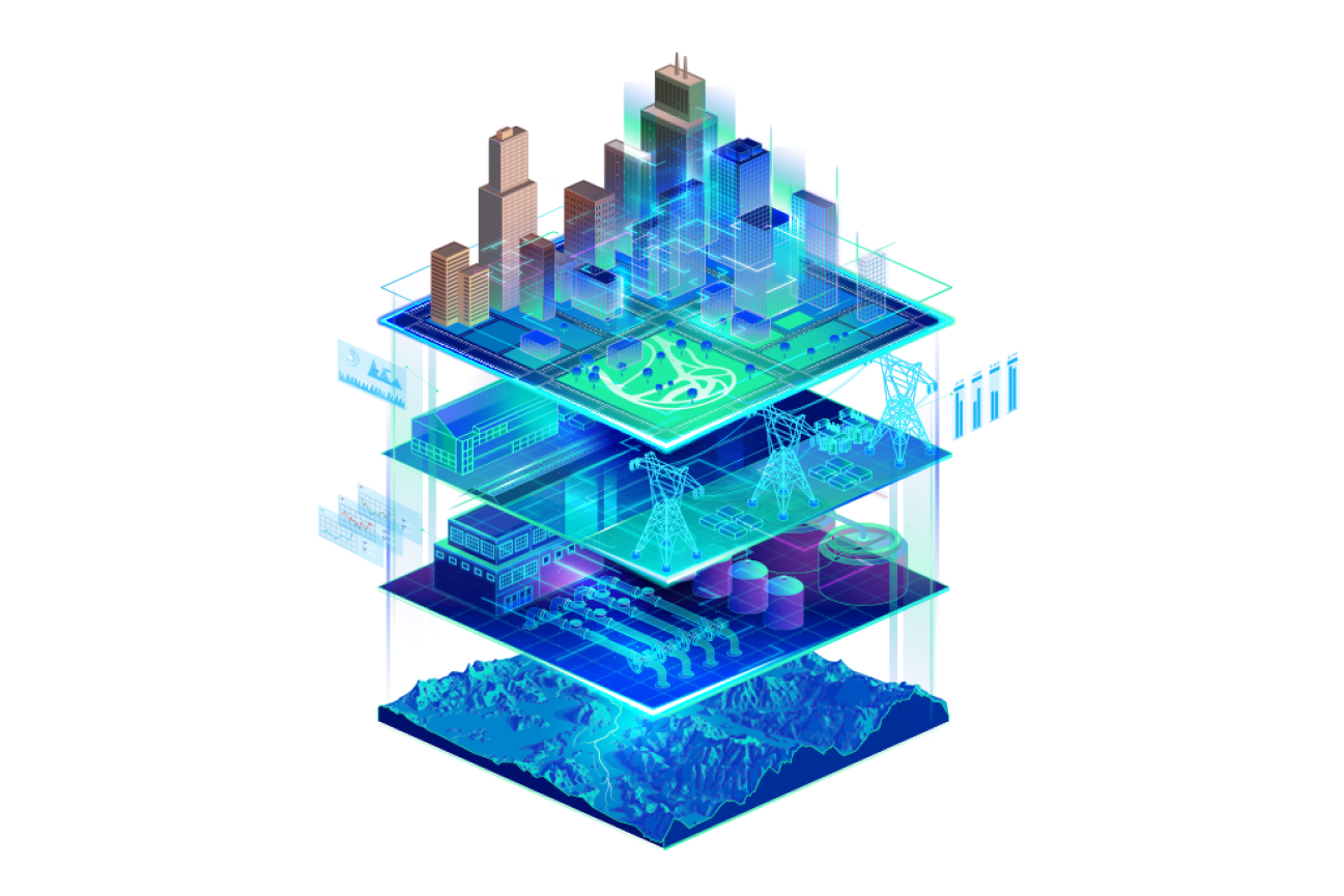
Interconnecting GIS and digital twins
Digital twins are virtual representations of the real world including physical objects, processes, relationships, and behaviors. A digital twin of a fixed asset or real-world system benefits directly from the integration with geographic information system (GIS) technology. GIS adds spatial context around the asset, connecting the information model to other models and its surroundings.
Esri's ArcGIS software provides out-of-the-box solutions that enable the creation, visualization, and analysis of digital twins. Download the ebook to learn how digital twins benefit from GIS integration and explore use cases and solutions that demonstrate how ArcGIS supports digital twin enablement.