
Fire, Rescue, and Emergency Medical Services
Optimize your department’s response
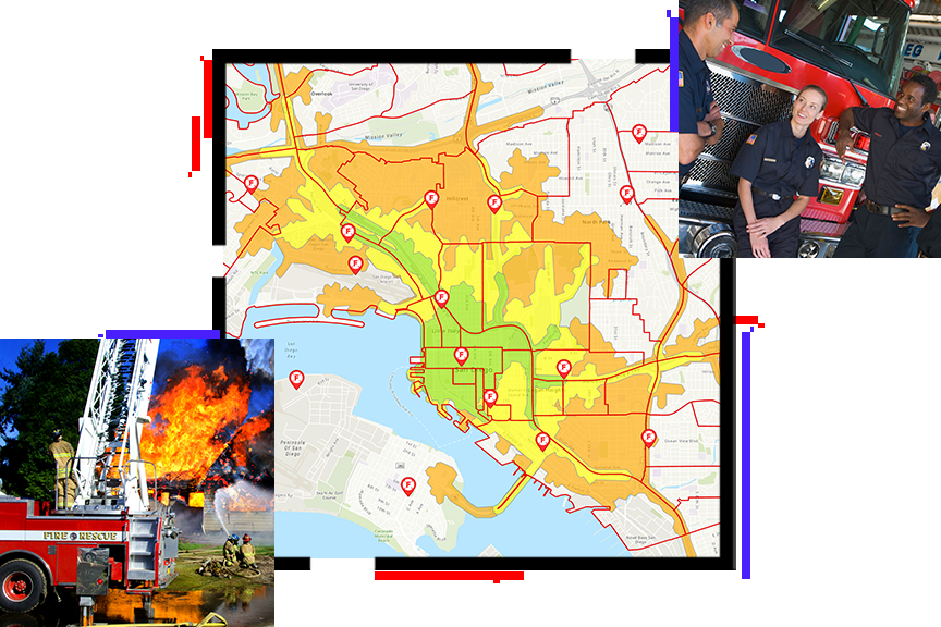
Applying location intelligence to fire operations
Around the world, fire, rescue, and emergency medical services (EMS) agencies of every size use spatial data to improve their preparedness, response, and risk reduction programs.
Agencies gather reliable, actionable information that every fire and EMS professional can use anytime, anywhere. Esri technologies can be used to improve planning, communication, and collaboration to achieve better outcomes.
In this ebook, you'll learn how to apply GIS to the following:
- Community risk reduction
- Fire accreditation
- Personnel tracking for structural and wildland firefighting
- Incident management
- Supporting fire department operations with AI and machine learning
Download free ebook
Complete the fields below to access the ebook.