"GIS provides the ability to efficiently and accurately provide the needs of both staff in the field and in-house."
CASE STUDY
Atlantic Telephone Membership Cooperation - A Digital Transformation
User
Atlantic Telephone Membership Cooperation (ATMC)
Challenge
ATMC staff had been manually updating schematics from the field. They needed a technology solution that would support field data collection and allow people throughout the enterprise to update, edit, and share fiber network information.
Solution
ATMC decided to use ArcGIS Collector to gather accurate field data and visualize it with a web map created using ArcGIS.
Result
With ArcGIS, ATMC has simplified data management and optimized technology spending. Staff can more easily collect, edit, and visualize data to better manage complex projects.
Partners
Enghouse Systems
Olsson, Inc
Atlantic Telephone Membership Cooperation (ATMC), chartered in 1955, is a nonprofit cooperative located in Shallotte, North Carolina. ATMC provides internet, security, telephone, and mobile technology services to roughly 60,000 members in southeastern rural North Carolina counties. ATMC wants to continue to provide the best service to its members and establish an infrastructure asset management solution viable for many years to come. Additionally, the cooperative will continue to accurately map telecommunication equipment.
In 2012, ATMC's board of managers recognized it was time for a change and sought a geographic information system (GIS) solution. In 2017, there was a hard stop in acquiring a GIS solution due to the expansion of current projects and costs as a result of infrastructure buildup. In 2020, ATMC received new grants to support growth and made a digital transformation by upgrading to ArcGIS Enterprise from CableCAD software, which was used to visualize and analyze fiber networks in North Carolina.
Challenge
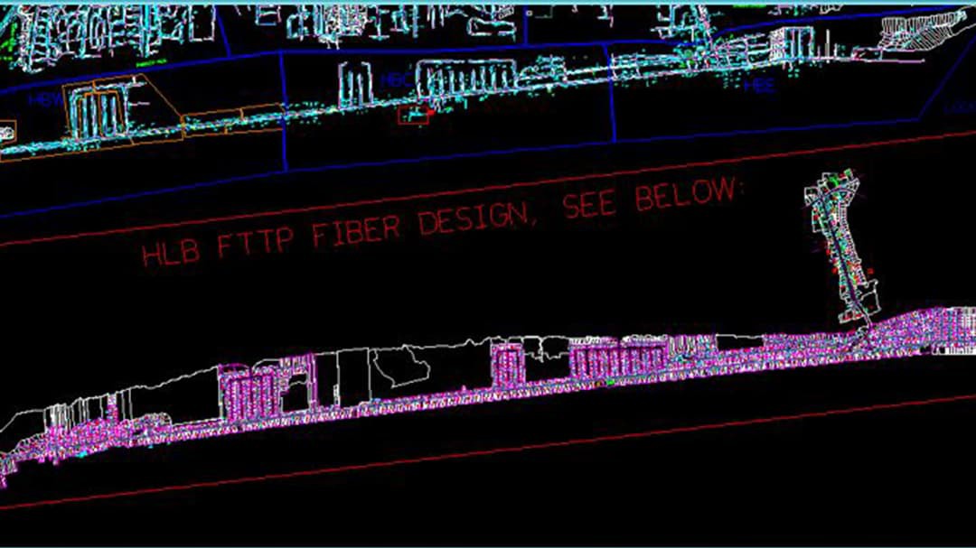
The teams at Atlantic Telephone Membership Cooperation needed to transition from the 1986 version of CableCAD software, which was used to visually display fiber networks, to a modern system capable of the flexibility and scalability needed for managing today's telecommunications networks. CableCAD is text driven and labeled with amplifying information that enables users to know what is exactly on the map without having to click a feature.
The CableCAD primary database is unable to accept edits, thus analysts have to check out and check in a workspace to make edits, which may cause corruption issues if many people are checking out the database at the same time. Additionally, CableCAD is not georeferenced, thus there is a requirement to build multiple maps based on the growing service areas. The growth and change to ATMC's service area have forced the cooperative to maintain its recent overbuild projects on separate maps due to this CableCAD limitation, as a result of AutoCAD being schematic in nature and not location based.

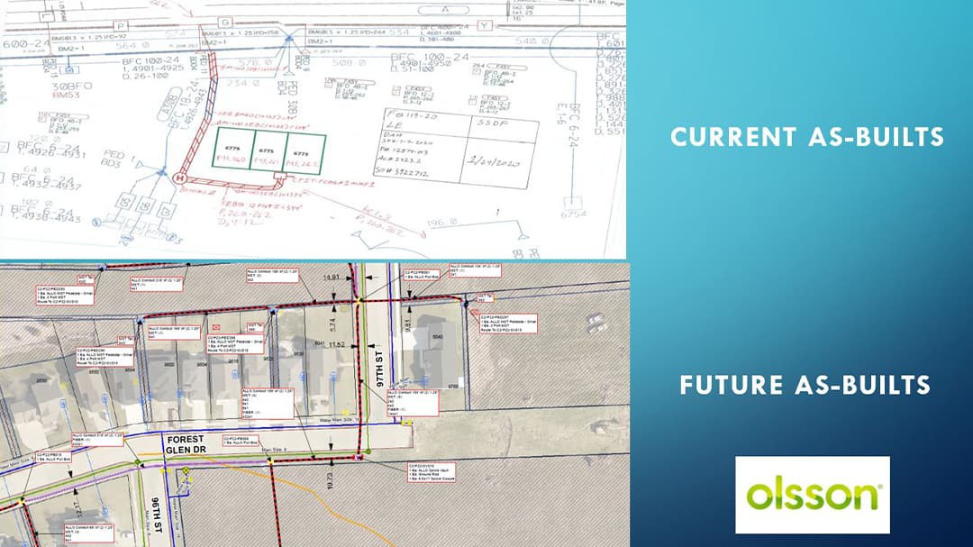
As-builts are drawings that show the existing dimensions and conditions of buildings, spaces, or areas. The current workflow of creating as-builts is a manual process. As-builts are extracted from CableCAD, sent out in the field, and markups are hand drawn.
When working in fiber, ATMC has a tremendous amount of fiber documentation records. There were 601 fiber splicing sheets in the CableCAD database not actually tied to fiber or the database. This causes a user to go outside of the mapping database to look at the fiber in a separate location, and it also introduces the potential for inaccuracy or delay in network operations.
Partner
Enghouse Systems is a partner that provides a tool to map plant data using an extension called NetDesigner for ArcGIS Desktop. NetDesigner is an Esri GIS-based geospatial network design and management solution for complex, multidomain networks. NetDesigner optimizes resources, enhances workflow, improves customer service, and maximizes operational efficiency, allowing for unprecedented cost savings.
Olsson is a partner that provided a schema to enable ArcGIS to deliver as-builts based on drawings in the field and supplemented with imagery and dynamic text.

Solution
Atlantic Telephone Membership Cooperation developed a web map using ArcGIS Online, replacing its current map viewer. Additionally, through using ArcGIS Collector to update and deliver field data to the system of record, ATMC can maintain an accurate, up-to-date web map of its equipment and fiber network.
The future as-builts process will use Olsson's schema to enable ArcGIS to provide as-builts. Olsson is a partner that provided a schema that simplifies the ability to deliver as-builts based on drawings in the field and supplemented with imagery and dynamic text. This allows teams to leverage ArcGIS to provide drawings from the field with imagery in the background as well as dynamic text. Users will be able to select a feature, such as a building or fiber line, and be able to view, edit, and update the attributes associated to it.
ATMC is updating its existing fiber records with a fiber splicing project designed to assign fibers to a feature class so the splicing diagrams can be viewed and referenced in GIS and field mobile applications. The map will show which fibers are connected to which office and which are connected to each splice case.
ArcGIS has empowered ATMC to implement better business practices, manage job workflows, maintain accountability of workers, and improve efficiency by being able to track jobs in GIS, then simplifying the creation of spreadsheets to show production in-house.
Results
ArcGIS Enterprise provides a comprehensive foundation for organizational operations, and the purchased enterprise license agreement (ELA) reduces the complexity of data and license management and optimized technology spending. ArcGIS Enterprise provides access to not only maps but also ArcGIS Online, a suite of web applications to collect and visualize data such as ArcGIS Collector and web maps. This has led to an increase in flexibility and maximizes the value of ATMC's technology acquisitions. ArcGIS also enables better analytics to improve operations efficiencies.