Learn the Latest in GIS
We designed our webinar series to bring together the community of Esri subject matter experts, thought leaders, and airport users to discuss GIS trends, how to apply GIS in new ways, and an overview of new technical capabilities.
Past webinar
Get Ahead With GIS for Capital Improvements
Location: On-Demand
Cost: No cost
Language: English
Most airports around the world are engaged in major capital improvements to prepare for increased passenger demand in the coming decades. At the same time, major infrastructure projects require careful monitoring and management to ensure successful delivery. This webinar highlights how ArcGIS can be an essential part of a successful capital improvement process by facilitating collaboration among contractors and providing tools to better track construction progress—ensuring project success.
Past webinar
Applying GIS to Airport Safety Management Systems
Location: On-Demand
Cost: No cost
Language: English
By integrating GIS into your safety management system, you can elevate safety procedures to become core business practices. This enables the implementation of a structured process that includes procedures, practices, and policies for effective safety management at airports. With the Federal Aviation Administration's (FAA) ruling requiring a safety management system, airports will have four to five years to implement their systems. This webinar will focus on how ArcGIS can help airport operators establish and implement an effective safety management system and the four required components to ensure maximum safety at airports.
Past webinar
Decoding Digital Twins for Airports
Location: On-Demand
Cost: No cost
Language: English
There is considerable interest in digital twins among airports, but the concept of implementation of BIM to GIS varies from industry to industry. To alleviate the understanding of where to start, we will walk you through how BIM and GIS provide a contextual awareness to guide capital improvements, management and design of your built infrastructure, and interior maintenance. This webinar will bring clarity to the discussion by focusing on a number of successful examples and the lessons that can be drawn from these airports.
Past Webinar
Airport Airfield Inspections
Location: On Demand
Cost: No cost
Language: English
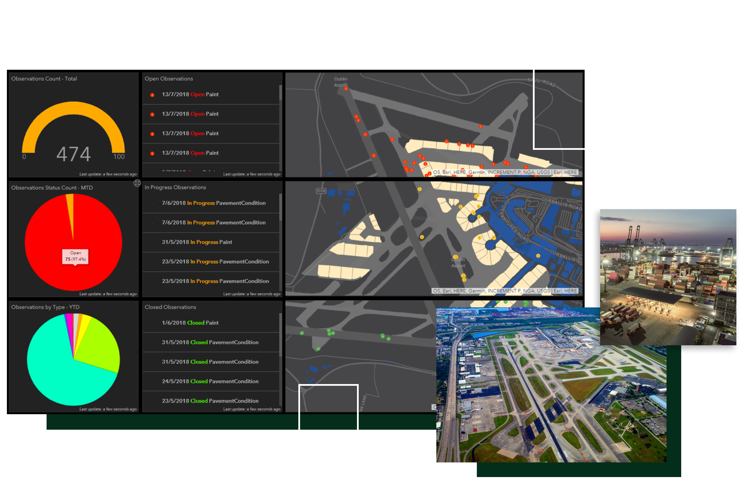
While runways and taxiways are among an airport's largest capital investments, knowing the location and condition of all your assets is critical to effectively maintaining the operational efficiency of the airport. To keep your airport operating efficiently, we created an FAA-compliant airfield inspection solution that is based on GIS.

