
2023 Port Webinar Series
Learn the Latest in GIS
Join our community of subject matter experts, thought leaders, and users to discuss GIS trends plus new technical advancements.
Enhancing Safety Operations with GIS
Location: On-demand
Cost: No cost
Language: English
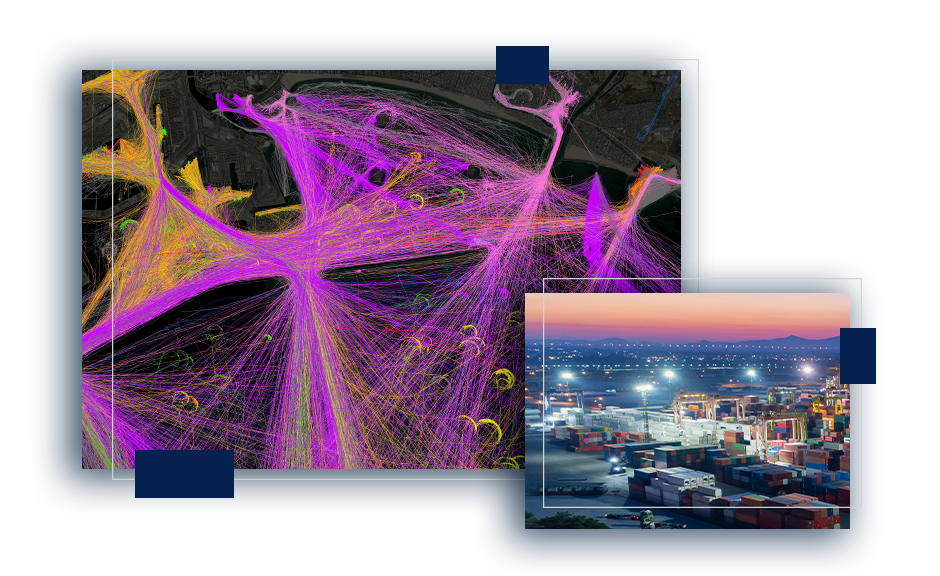
Ports need to prepare for a wide range of scenarios, both natural and human-made. To stay operating at peak performance, implementing a geospatial foundation is key to enhance safety operations and emergency management plans. Esri's geographic information system (GIS) technology gives your security personnel a holistic real-time view of your port's activities. Watch to see how GIS provides the foundation to expand on better tools for situational awareness, damage assessment, impact analysis, and incident briefings.
Navigating ArcGIS Applications for Ports
Location: On-demand
Cost: No cost
Language: English
Discover how GIS unites data through visualization for you to get a better understanding of your port. Together we will go over how valuable assets, capital improvement projects, and operations can be monitored through nimble applications. This webinar is designed to help port professionals begin their journey with GIS by focusing on simple applications that can be quickly implemented and deliver significant returns on investment.
Leveraging a Data Model for Ports
Date: April 13, 2023
Location: On-Demand
Cost: No cost
Language: English
Ports around the world are using the advantages of GIS technology to optimize management and operations. This webinar will highlight Esri's recently released ports data model, which is designed to help ports scale with GIS. Whether your port is interested in GIS for asset, real estate, or security management, GIS technology will provide an added layer of geospatial awareness to your organization's operations.