Real-Time Tracking and Analytics

ArcGIS Field Maps and ArcGIS Velocity

Real-Time Tracking and Analytics with ArcGIS Field Maps and ArcGIS Velocity

Are you looking for a way to improve control of your operations and environment by achieving enhanced visibility and traceability?

Many organizations are seeking solutions to track personnel and assets in real time for a wide range of applications, including employee health and safety, efficient workforce management, fleet management, proof of work, and dispatching. The need is clear for real-time analysis tools to provide actionable insights and enable future prediction. Through the integration of location data streaming with big data analysis, your organization can produce real-time location intelligence, track valuable assets globally in facilities and the field; reduce operational costs; and improve system efficiencies. 

Solutions

Esri offers two leading technologies to supply these capabilities.

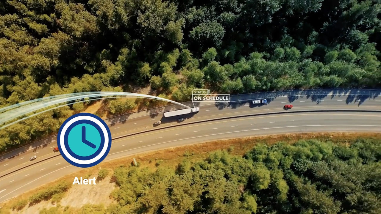
ArcGIS Field Maps is a lightweight app that performs mobile data collection. It enables mobile workers to take maps into the field and helps organizations have real-time location awareness of field personnel. 

ArcGIS Velocity is a real-time and big data analysis add-on capability for ArcGIS Online. It enables users to ingest, process, and visualize real-time data feeds as well as perform fast queries and analysis to turn location tracking data into valuable insights. 

An aerial shot captures a highway surrounded by lush greenery, featuring vehicles in motion.

Get in touch with our sales team to learn more about real-time tracking and analytics