
Tackling the Climate Crisis Together
How a geographic approach empowers coordinated climate action
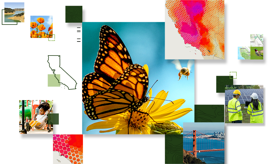
Applying geospatial technology to build resiliency
See how a geographic approach can help California leaders mitigate the impacts of climate change at both the micro and macro levels. This ebook explores how organizations such as the San Francisco Estuary Institute, LandIQ, and the US Department of Agriculture (USDA) Agricultural Research Service are using a modern geographic information system (GIS) to address adaptation and reduction by:
- Efficiently collecting, analyzing, and sharing data.
- Improving operational awareness.
- Achieving real-time intelligence.
- Understanding situations with greater context and clarity.
- Bringing stakeholders together for shared solutions.
Get the ebook
Please fill out the form below to access the ebook.