Attention: To support the new Esri Academy experience, e-Learning access will be paused on August 15 from 9 AM–12 PM (PT).

An abstract visualization of map lines in gradient colors on a dark background.

Spatial Data Science Courses

ArcGIS training for all skill levels

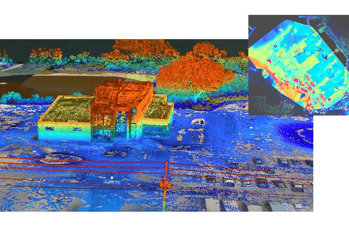
A multi-panel image combining a map and a 3D point cloud, illustrating building elevations and street-level details

Keep growing your skills

Sign up to get one year of low-cost access to ArcGIS software plus unlimited access to all Esri e-Learning.

coming

Talk with a training expert

Have questions or need help? Fill out the form to get in touch with us.