
Don Edmonds
Solution Engineer, Esri

2026
Solution Engineer, Esri

Solution Engineer, Esri
To attend multiple webinars, you must register for each one individually.

Learn from Esri solution engineers as they share highlights from this year’s Esri User Conference (Esri UC).
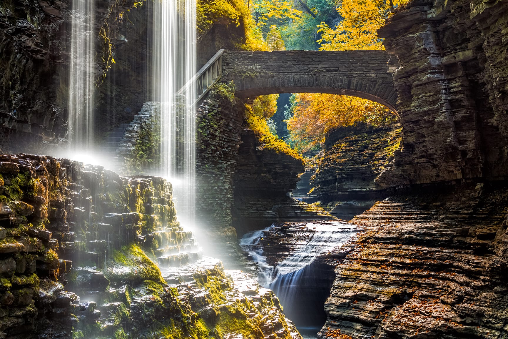
Go beyond visualization and harness artificial intelligence for imagery analytics. This session introduces GeoAI tools in ArcGIS for feature extraction, object detection, and change analysis. Explore workflows that combine machine learning and deep learning with raster analytics to classify land cover, monitor environmental changes, and detect anomalies.
Registration is coming soon.
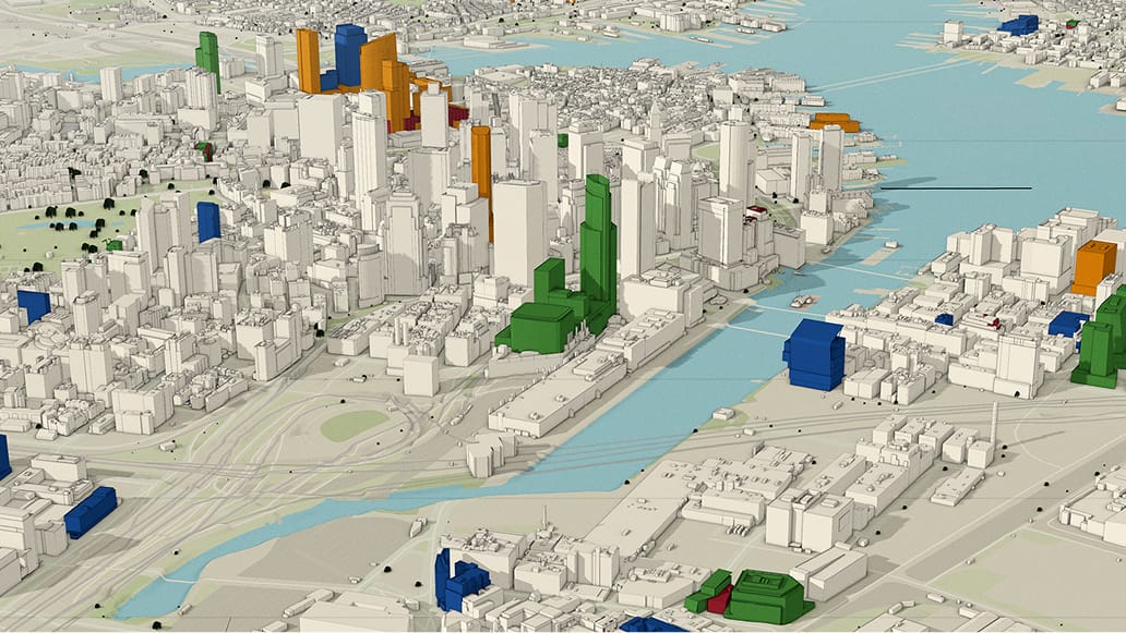
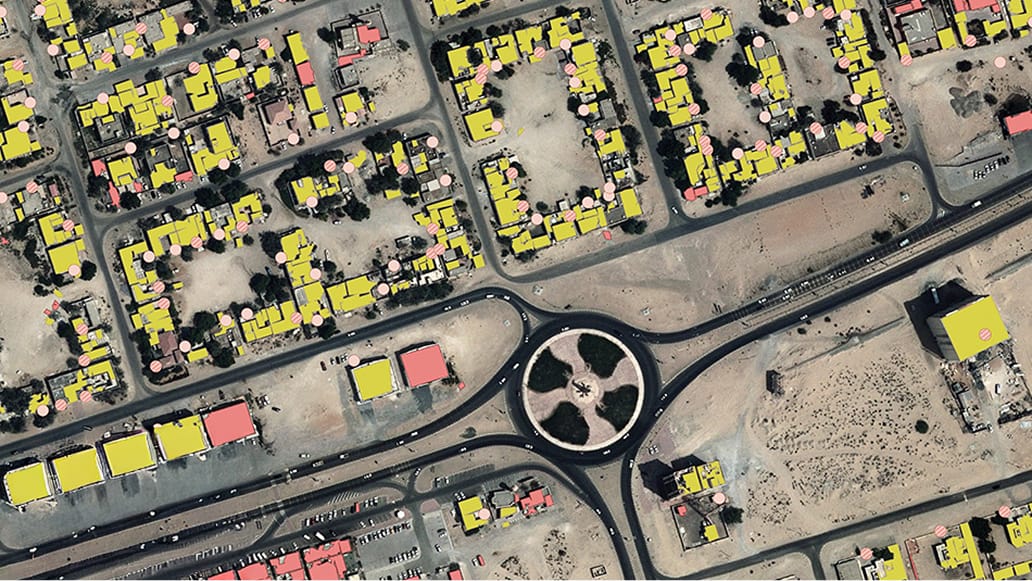
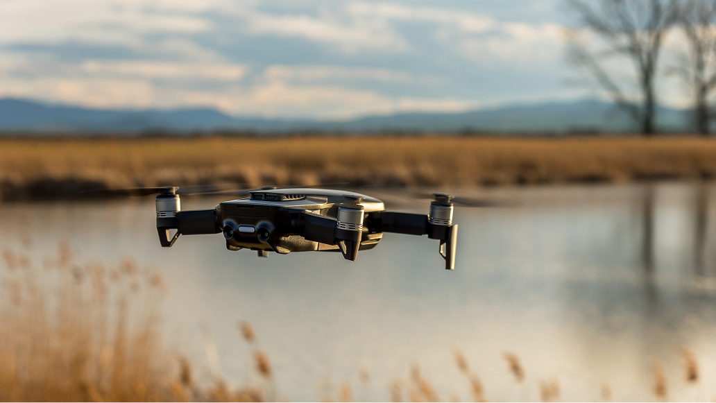
Step into the world of reality mapping with ArcGIS Pro and Site Scan for ArcGIS. This session covers the end-to-end process of creating authoritative 2D and 3D products from drone imagery, including orthomosaics, digital elevation models, and textured meshes. Learn how to integrate these products into enterprise GIS for asset management, planning, and emergency operations. We’ll also discuss accuracy assessment techniques and tips for scaling drone programs.
Organizations are collecting more video than ever—from drones, security cameras, and sensors—but how do you turn that footage into actionable intelligence? ArcGIS Video Server, a server role for ArcGIS Enterprise, makes video a first-class data source in your GIS workflows.
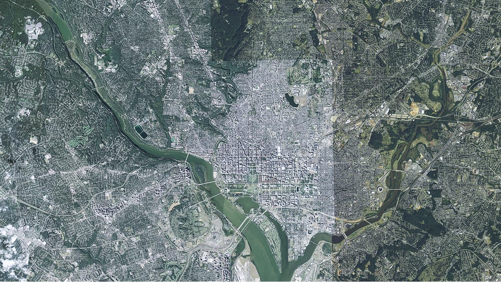
Unlock the full potential of imagery in your GIS workflows. This session introduces the core concepts and tools for managing imagery within the ArcGIS system—whether your data comes from satellites, drones, or aerial sensors. Learn how to organize, optimize, and share imagery using ArcGIS Pro and ArcGIS Enterprise, including best practices for creating mosaic datasets, leveraging the SpatioTemporal Asset Catalog (STAC), and publishing dynamic image services. We’ll cover supported formats, metadata management, and strategies for scaling from small collections to massive imagery archives.