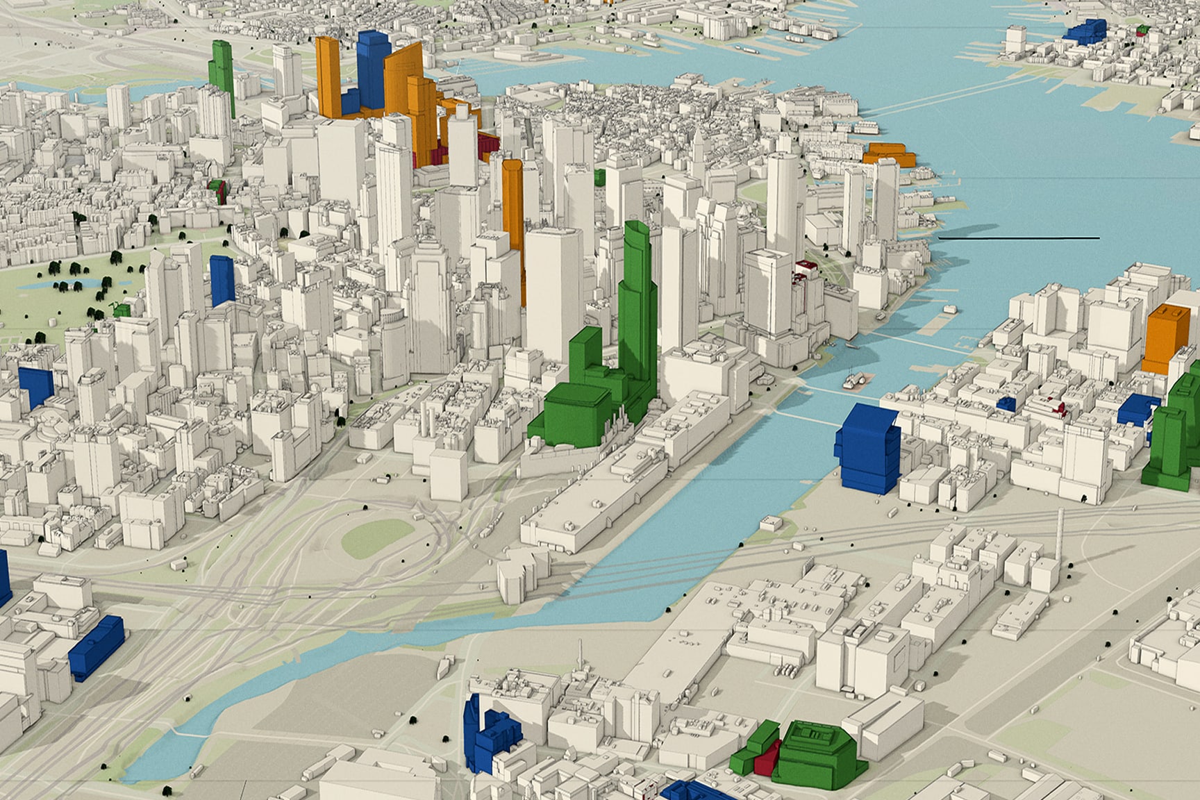
This session covers the end-to-end process of creating authoritative 2D and 3D products from drone imagery, including orthomosaics, digital elevation models, and textured meshes. Learn how to integrate these products into enterprise GIS for asset management, planning, and emergency operations. We’ll also discuss accuracy assessment techniques and tips for scaling drone programs.