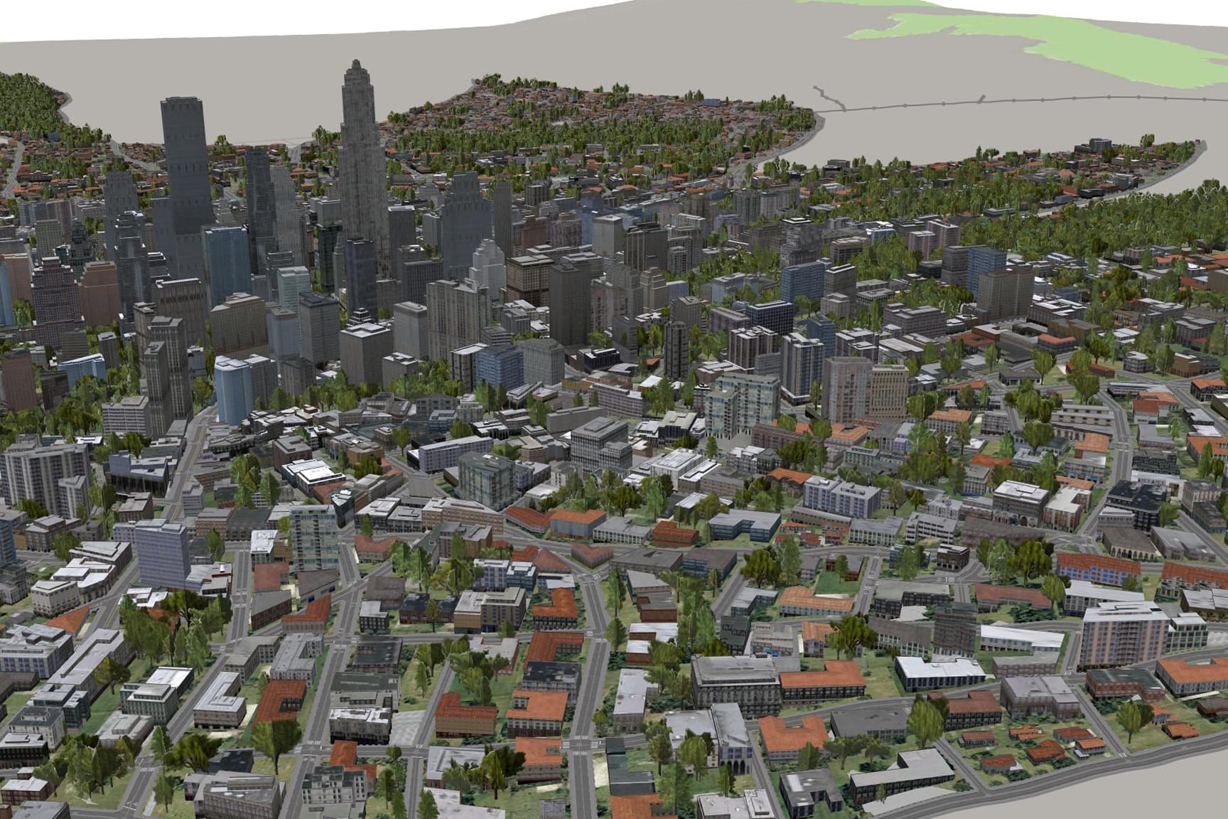
Delve into the realm of data management excellence with a specialized focus on leveraging ArcGIS Urban and ArcGIS CityEngine for efficient 3D GIS data handling. Explore how these advanced platforms empower users to organize, analyze, and visualize spatial data in 3D, enhancing decision-making processes and optimizing urban development strategies. Learn how to effectively structure datasets, integrate diverse data sources, and maintain data integrity for informed decision-making.