GIS for Construction
Explore the Story

Webinar [4] of 4]
AEC Community Webinar Collection
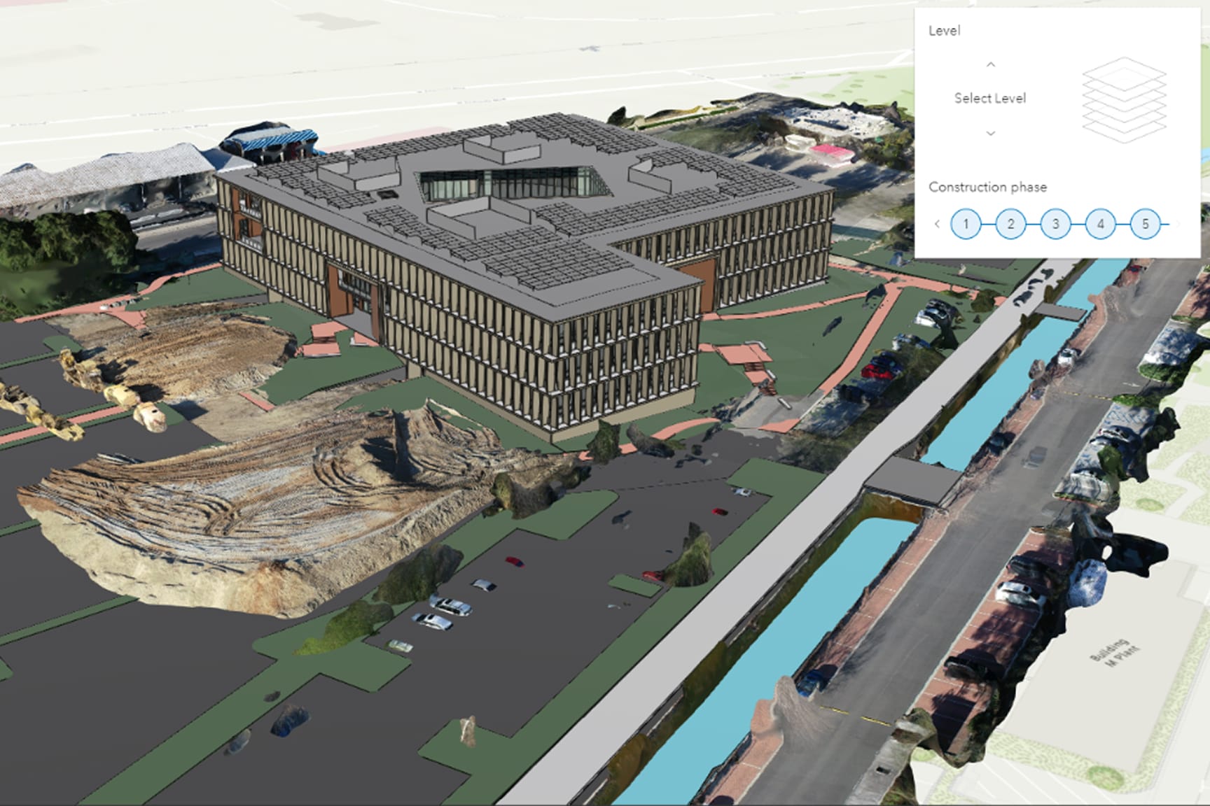
This insightful webinar focuses on the intersection of architecture and urban design, exploring innovative ways to leverage GIS technology for enhanced spatial planning and design solutions.

Gain valuable knowledge about sustainable practices and innovative solutions tailored for environmental challenges in AEC projects.