Skip to Content

Discover the Power of Spatial Data Science for Advancing Knowledge

A higher education webinar

Register now
Go to the collection
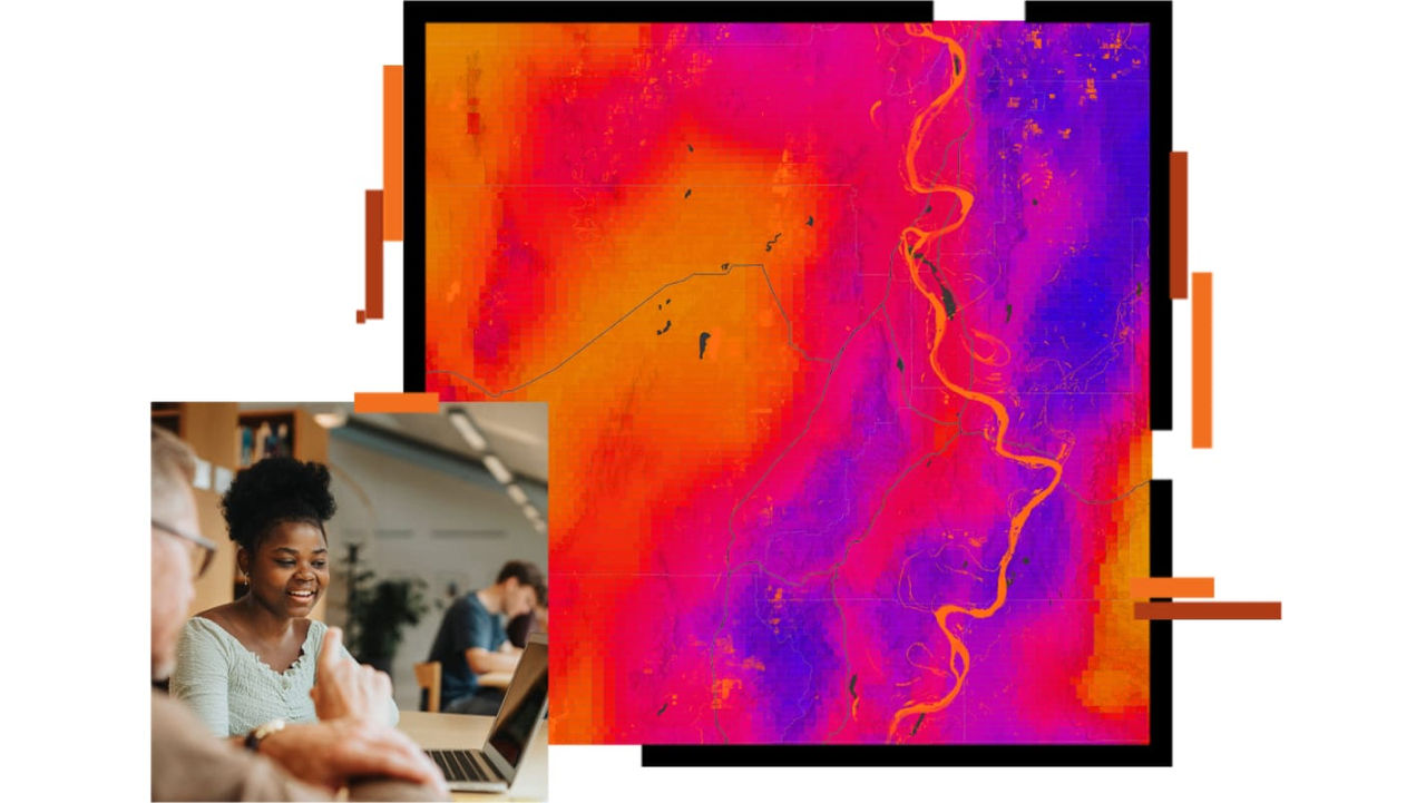
Spatial map colored bright purple, red and orange

Webinar overview

Discovercompelling examples from a panel of presenters

The use of location data in data science brings new insights to problem-solving across various industries. 

A panel of presenters will demonstrate where spatial data science techniques have been applied to find clusters, quantify trends, and test predictions in large and complex datasets . These compelling examples can serve as inspiration for educators, researchers, and students to harness the power of spatial data science in class projects or research. 

What you'll learn

  • Explore the building blocks of spatial data science
  • Learn from Esri and fellow academics about various spatial data science projects
  • Access helpful resources for learning spatial data science

Register to access the recording

Spatial Data Science in Higher Education

Explore resources and assets for incorporating spatial data science and applications into the classroom.
Go to webpage
An infrared map in red, purple, and yellow with an orange river winding through it, overlaid with an image of a teacher in a pale blue blouse helping a student using a laptop in a classroom setting