Spatial Data Science Webinars

Higher Education

Learn how to bring spatial data science into higher education classrooms with these practical and informative webinars.

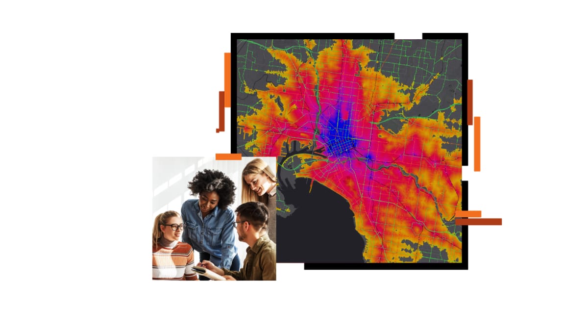
A group of students talking with an instructor and a large coastal heat map with areas of red, yellow, orange, and blue.

Recorded webinars

Browse a collection of prerecorded webinars, available at your convenience.

Previous
Next

Spatial Data Science in Higher Education

Explore resources and assets for incorporating spatial data science and applications into the classroom.

Go to webpage
An infrared map in red, purple, and yellow with an orange river winding through it, overlaid with an image of a teacher in a pale blue blouse helping a student using a laptop in a classroom setting