GIS and Official Statistics: Modernizing Statistics with Location Series
Access the Recording
Explore the collection
Webinar Overview
In the first webinar of the series, learn how to transform American Community Survey demographic data using ArcGIS Living Atlas of the World. Discover techniques for visualizing and sharing data effectively, while mastering best practices for data preparation and metadata management.
Access the recording
Upcoming webinars in the series
Data Science Part 1: GIS and Spatial Analytics
Discover how to use GIS tools to extract meaningful patterns from your data. Learn practical techniques for analysis and visualization that create new understanding and insights.
Register for this webinar
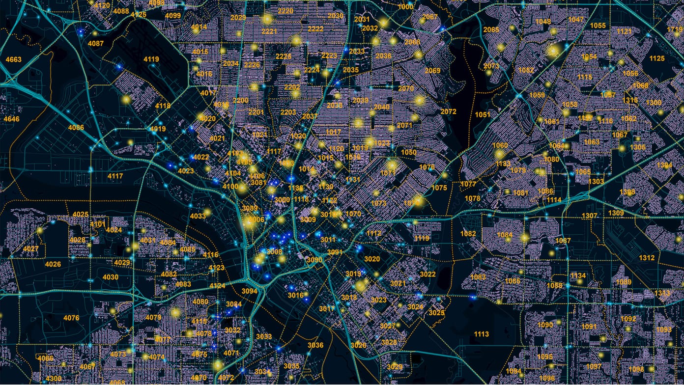
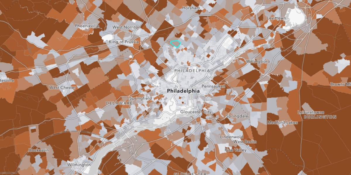
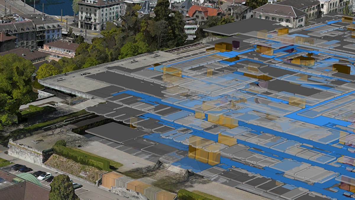
Data Science Part 2: AI, GIS and Statistics
Explore how statistical offices can leverage AI with geographic information systems—from using satellite and drone imagery to map buildings and critical resources, to enabling generative AI for enhanced workflows and improved data access.