Skip to Content

Aerial & Drone Intel for Damage Assessment

November 4, 2026 | 11:00 AM–12:00 PM (ET)

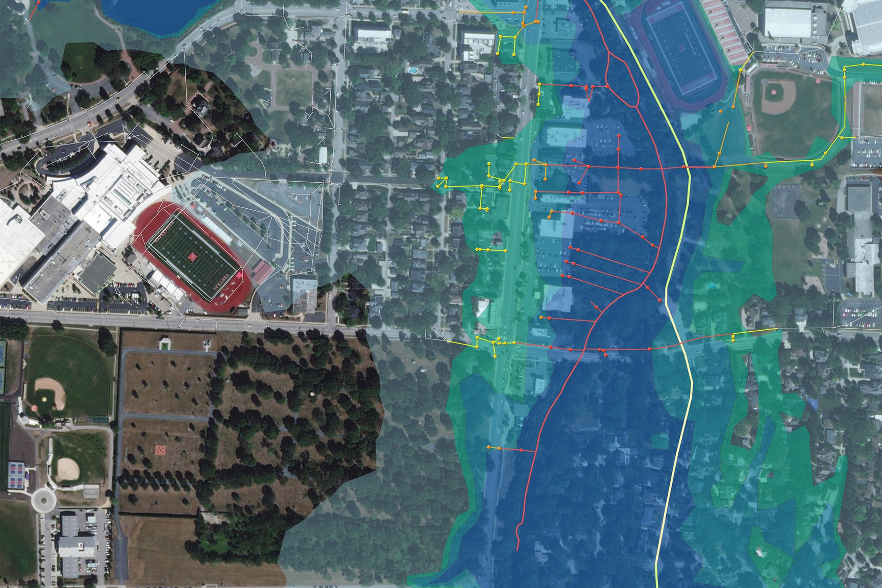
Image outlining a flood plane

Add Geospatial Context to Damage Assessment

Discover how ArcGIS software’s end-to-end, cloud-based drone mapping capabilities are transforming damage assessment workflows. Join three of Esri’s global partners as they share how intelligence from drone and aerial imagery accelerates response, improves accuracy, and supports faster recovery decisions.

Speakers

Previous
Next

What you'll learn in this webinar

  • Discover how drone and aerial imagery expedite damage assessments.
  • Understand how drone, aerial, and satellite imagery work together in emergency management.
  • Understand various ways to acquire imagery assets and learn imagery governance best practices.

Register for the webinar

Outside the United States