Leveraging GIS for Multiagency Response to Significant Incidents
Access the resources that were discussed during the webinar

Part one of Esri’s three-part Public Safety Engagement and Collaboration webinar series

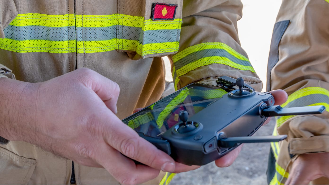
In part two of the series, see firsthand how organizations are using GIS and drones to become more efficient.
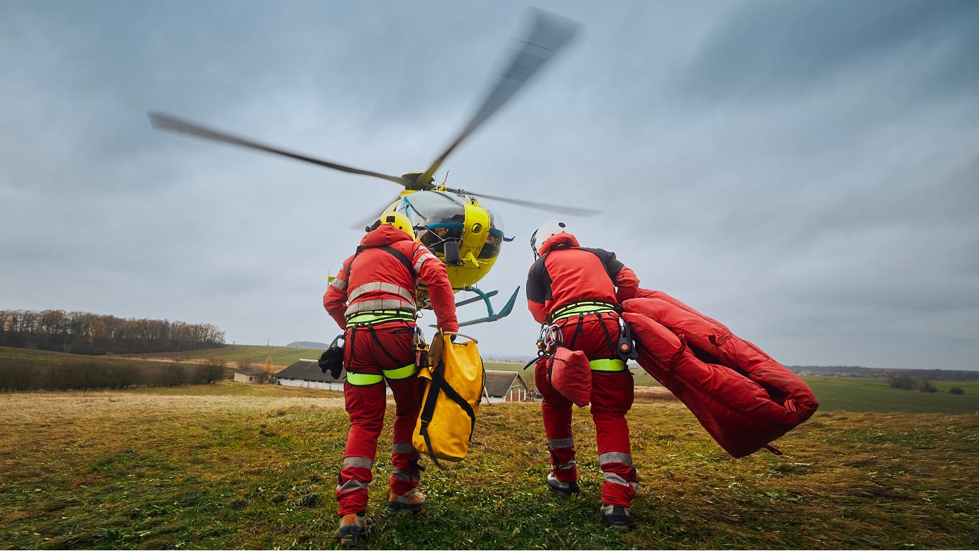
In part three of the series, discover how GIS has become a vital component for effective decision-making and planning across regions and jurisdictions, particularly in disaster management scenarios.