Unlocking the Power of Spatial Data Integration
Access the resources that were discussed during the webinar

Part three of Esri’s three-part Public Safety Engagement and Collaboration webinar series
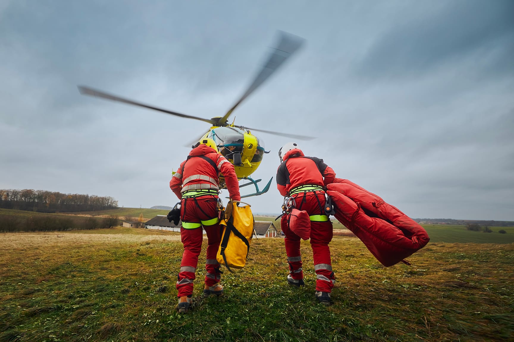

In part one of the series, learn how GIS strengthens engagement and collaboration for better responses to critical incidents.
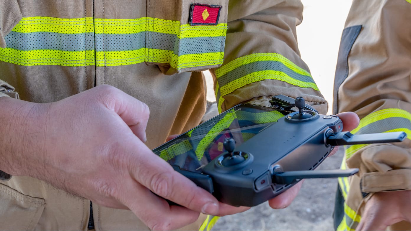
In part two of the series, see firsthand how organizations are using GIS and drones to become more efficient.