Skip to Content

Webinar 1 of 2

Accelerating Earth Sciences Workflows with AI Assistants

November 3, 2026 | 9AM–10 AM (PST)

Part of the AI-Enabled Geospatial Workflows for Earth Sciences webinar series
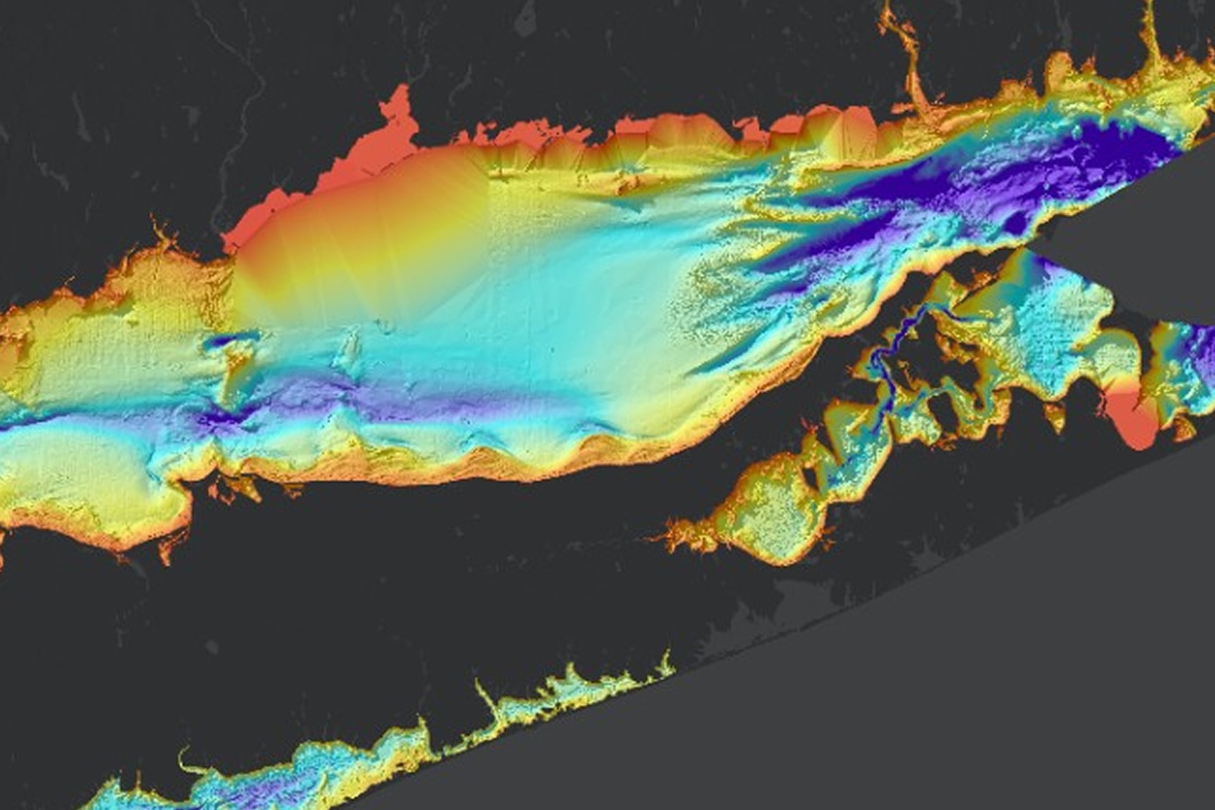
Colorized bathymetric map displaying underwater terrain, depth variation, and coastal features

See How AI Can Assist Your Workflows

Learn how AI assistants can help earth sciences organizations move from observations to actionable information by streamlining data collection, improving data quality and stewardship, accelerating analysis, and supporting operational decision-making. 

Presenters

Previous
Next

What you'll learn in this webinar

Learn how AI-assisted geospatial workflows can help organizations move from observation to actionable information more efficiently.

Here is what this series will cover:

  • Turning earth science observations into actionable information
  • Working with trusted data and AI-ready workflows
  • AI workflow demo: observation to information to decision support

Explore the webinars in this series

Previous
Next