
Lorraine Tighe
Director of Earth Sciences Solutions, Esri

Webinar 2 of 2
December 15 | 9AM–10 AM (PST)
Part of the AI-Enabled Geospatial Workflows for Earth Sciences webinar series
Director of Earth Sciences Solutions, Esri

Solution Engineering Team Lead, Esri

Solution Engineer, Esri

Solution Engineer, Esri
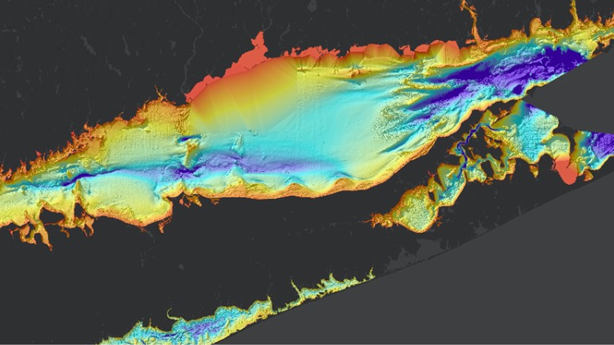
Learn how AI assistants can help earth sciences organizations move from observations to actionable information by streamlining data collection, improving data quality and stewardship, accelerating analysis, and supporting operational decision-making.
November 3, 2026 | 9AM–10 AM (PST)