Webinar overview
Many countries throughout the region have an urgent need to generate reliable and trustworthy geospatial data for establishing secure land tenure and understanding current land use. Despite immense amounts of raw data being collected across the region every second, much of this data is still inaccessible to those who need it most. Even once the data is accessible, challenges with hardware access, network infrastructure, skills, and institutional readiness often prevent the generation of land information.
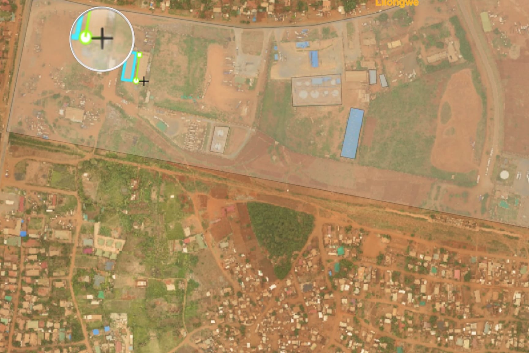
In light of these challenges, during this webinar Esri partner PLACE and Esri UK will present a two-step approach to quickly capturing and accessing high-quality imagery and extracting geospatial data from rule-based data templates. PLACE will present their public-private partnership model that allows governments access to high-quality aerial imagery. With access to this and other open reference data, Esri UK will show how their web-based/mobile app Sweet for ArcGIS can support data collection with built-in configurable data quality checks, helping users to quickly capture and edit accurately the first time—and every time.

