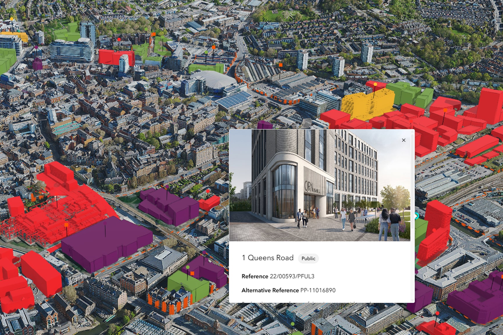
Planning decisions need to be transparent and understandable. When data, analysis, and spatial context live in disconnected tools, it’s harder to trust results or explain outcomes. ArcGIS Urban simplifies 3D planning for communities of any size by keeping GIS data and context connected in one place.