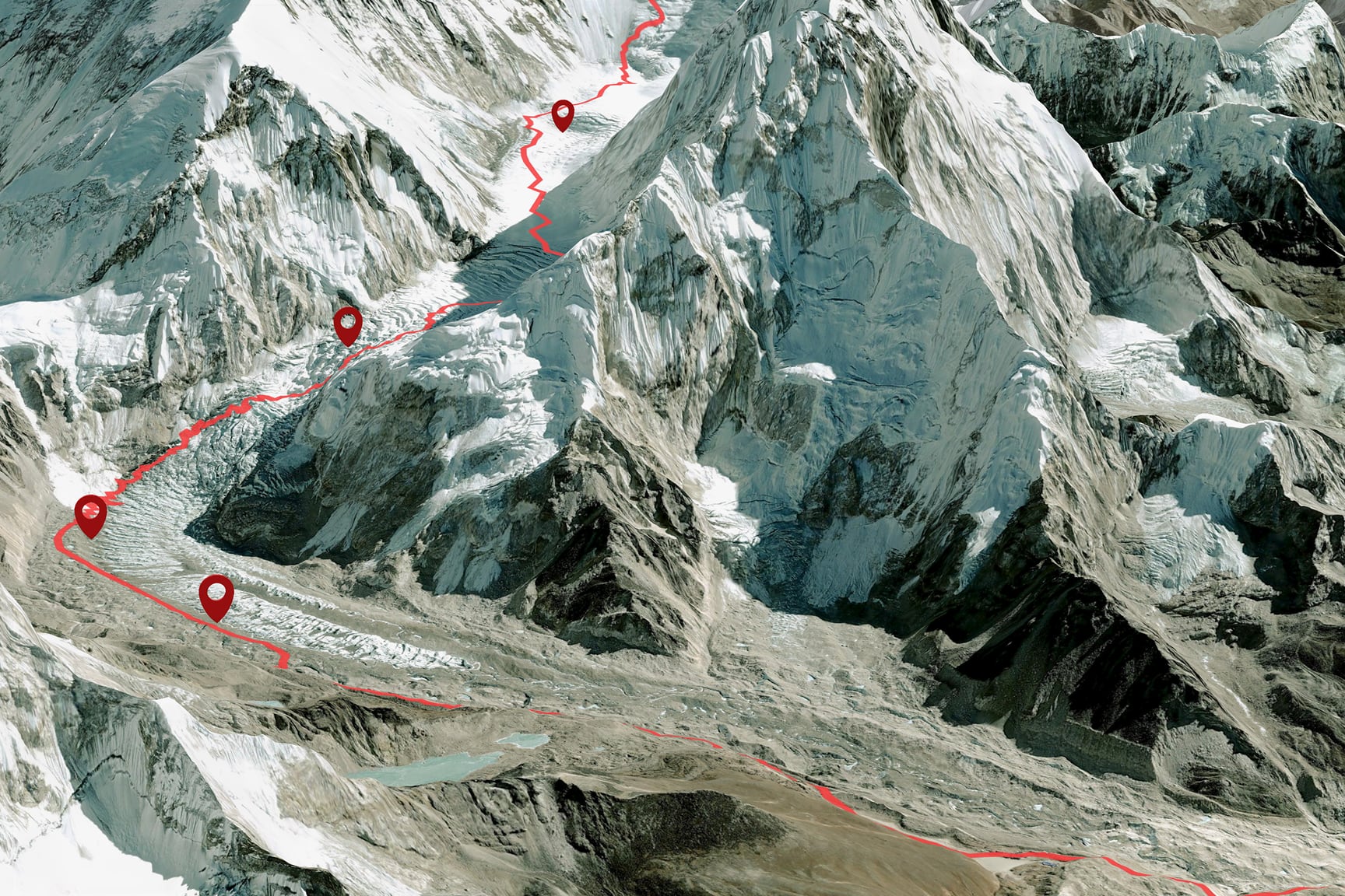
Discover how ArcGIS Pro helps you transform maps into engaging videos that bring geographic stories to life. Learn how to use range-aware data, animation, and storytelling to help audiences see change over time in a way that static maps simply can’t.